Medium airport · United States

Anniston Regional AirportKANB
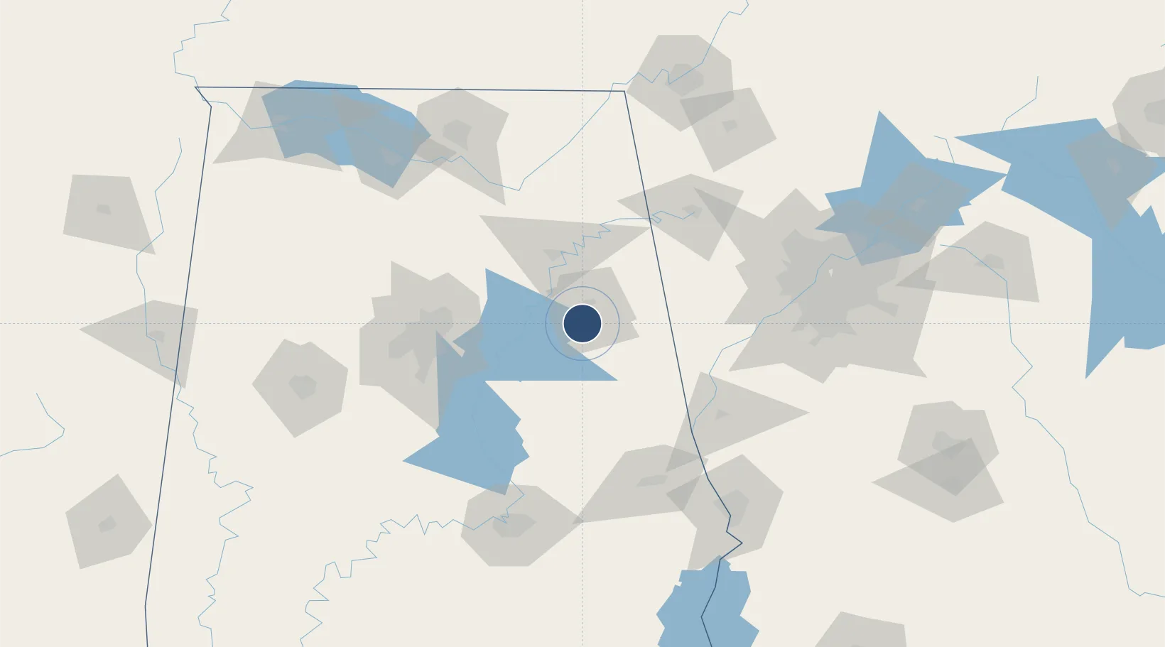
33.5882°, -85.8581°
7,002 ft
Longest runway
1
Runways
612 ft
Elevation

Runway & Layout

Anniston Regional Airport runway & taxiway layout
Runway & taxiway layout — OpenStreetMap (ODbL) / OurAirports

Radio Frequencies

ASOS
119.675 MHz
CTAF
123.6 MHz
A/D
125.45 MHz
BIRMINGHAM APP/DEP
RDO
122.2 MHz
UNIC
123 MHz
UNICOM
OurAirports

Navaids

AN NDB Bogga 211 kHz
OurAirports

Runways · 1

RunwayDimensions SurfaceTrue headingLit
05/23 7,002 × 150ft Asphalt 048°
OurAirports

Airport Specifications

IATA code
ANB
OurAirports
ICAO code
KANB
OurAirports
Airport class
Medium airport
OurAirports
Scheduled service
No
OurAirports
Runway surface
Asphalt
OurAirports
Served city
Anniston
OurAirports

Location

Location of KANB
Natural Earth 10m (public domain) · Alabama · KANB · 33.59, -85.86GoogleOSMYandex

Nearby Logistics Neighbours

Airports
  1. 1Birmingham-Shuttlesworth International Airport83 km
  2. 2Shelby County Airport97 km
  3. 3Richard B Russell Airport107 km
  4. 4Fulton County Airport Brown Field126 km
  5. 5Cobb County International Airport-McCollum Field126 km
Nearest neighbours — logibook spatial index (haversine) over the source coordinates
Cities
  1. 1Trinity1 km
  2. 2Delta24 km
  3. 3Lincoln24 km
  4. 4Wellington26 km
  5. 5Talladega28 km
Nearest neighbours — logibook spatial index (haversine) over the source coordinates
Ports
  1. 1Pensacola377 km
  2. 2Panama City385 km
  3. 3Mobile387 km
  4. 4Port St Joe423 km
  5. 5Carrabelle431 km
Nearest neighbours — logibook spatial index (haversine) over the source coordinates
Trade Zones
  1. 1FTZ No. 098 Birmingham89 km
  2. 2FTZ No. 026 Atlanta137 km
  3. 3FTZ No. 222 Montgomery142 km
  4. 4FTZ No. 083 Huntsville144 km
  5. 5FTZ No. 270 Lawrence County152 km
Nearest neighbours — logibook spatial index (haversine) over the source coordinates
DatabookThe Record of Consolidated Knowledge
United States beyond logistics?
Browse databook

All Sources

AirportsOurAirports
Public domain
Portsthe NGA World Port Index
Public domain (US gov)
LocationsUN/LOCODE
UN/LOCODE — free
Trade Zonesthe World Bank SEZ database
CC BY 4.0
Trade ZonesOpen Zone Map
CC BY
InfrastructureOpenStreetMap
ODbL 1.0
← United States airports