Transport Functions
Road
Multimodal
Hub Profile
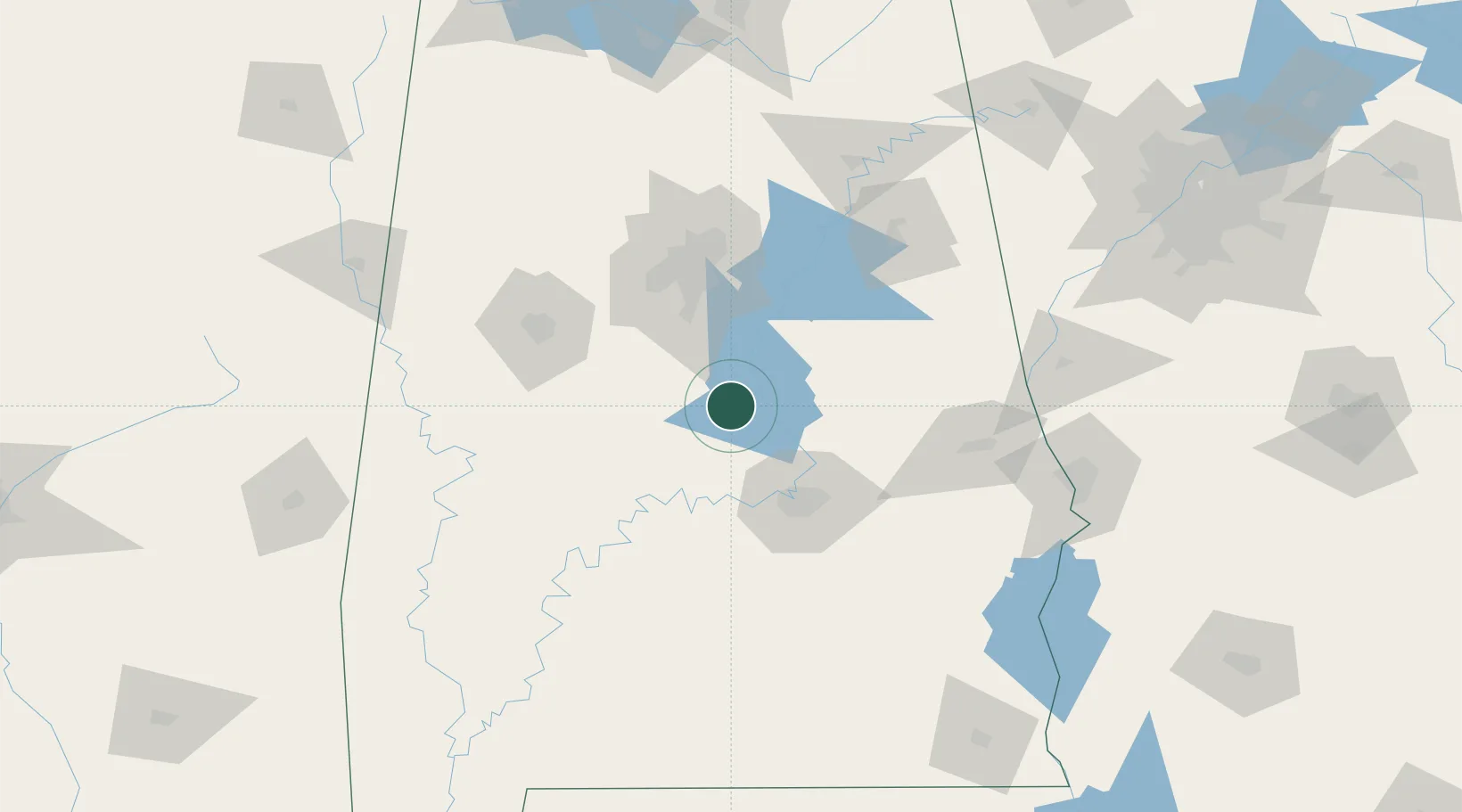
Place type
Provincial seat
Region
Alabama
Population
2,925
Time zone
America/Chicago
Elevation
180 m
Location
Nearby Logistics Neighbours
Cities
- 1Clanton2 km
- 2Thorsby13 km
- 3Jemison19 km
- 4Maplesville24 km
- 5Rockford38 km
Ports
- 1Pensacola277 km
- 2Mobile278 km
- 3Panama City314 km
- 4Pascagoula332 km
- 5Biloxi347 km
Airports
Trade Zones
- 1FTZ No. 222 Montgomery59 km
- 2FTZ No. 098 Birmingham79 km
- 3FTZ No. 083 Huntsville202 km
- 4FTZ No. 270 Lawrence County203 km
- 5FTZ No. 265 Conroe (Montgomery County)206 km
DatabookThe Record of Consolidated Knowledge
United States beyond logistics?