UN/LOCODE hub · United States
USTNV
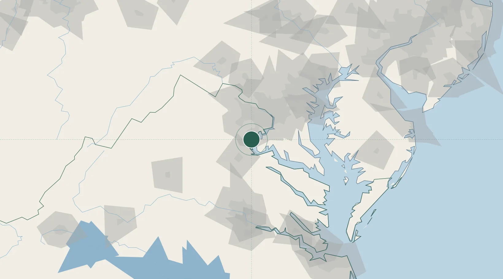
Triangle
38.5500°, -77.3333°
8,188
Population
3
Transport functions
Transport Functions
Port
Road
Multimodal
Hub Profile
Place type
Populated place
Region
Virginia
Population
8,188
Time zone
America/New_York
Elevation
30 m
Location
Nearby Logistics Neighbours
Cities
- 1Indian Head17 km
- 2Nokesville25 km
- 3Calverton30 km
- 4Bristow30 km
- 5Midland34 km
Ports
- 1Fredericksburg30 km
- 2Alexandria38 km
- 3Washington D.C.44 km
- 4Solomons Island81 km
- 5Piney Point84 km
Airports
Trade Zones
DatabookThe Record of Consolidated Knowledge
United States beyond logistics?