Transport Functions
Rail
Road
Multimodal
Hub Profile
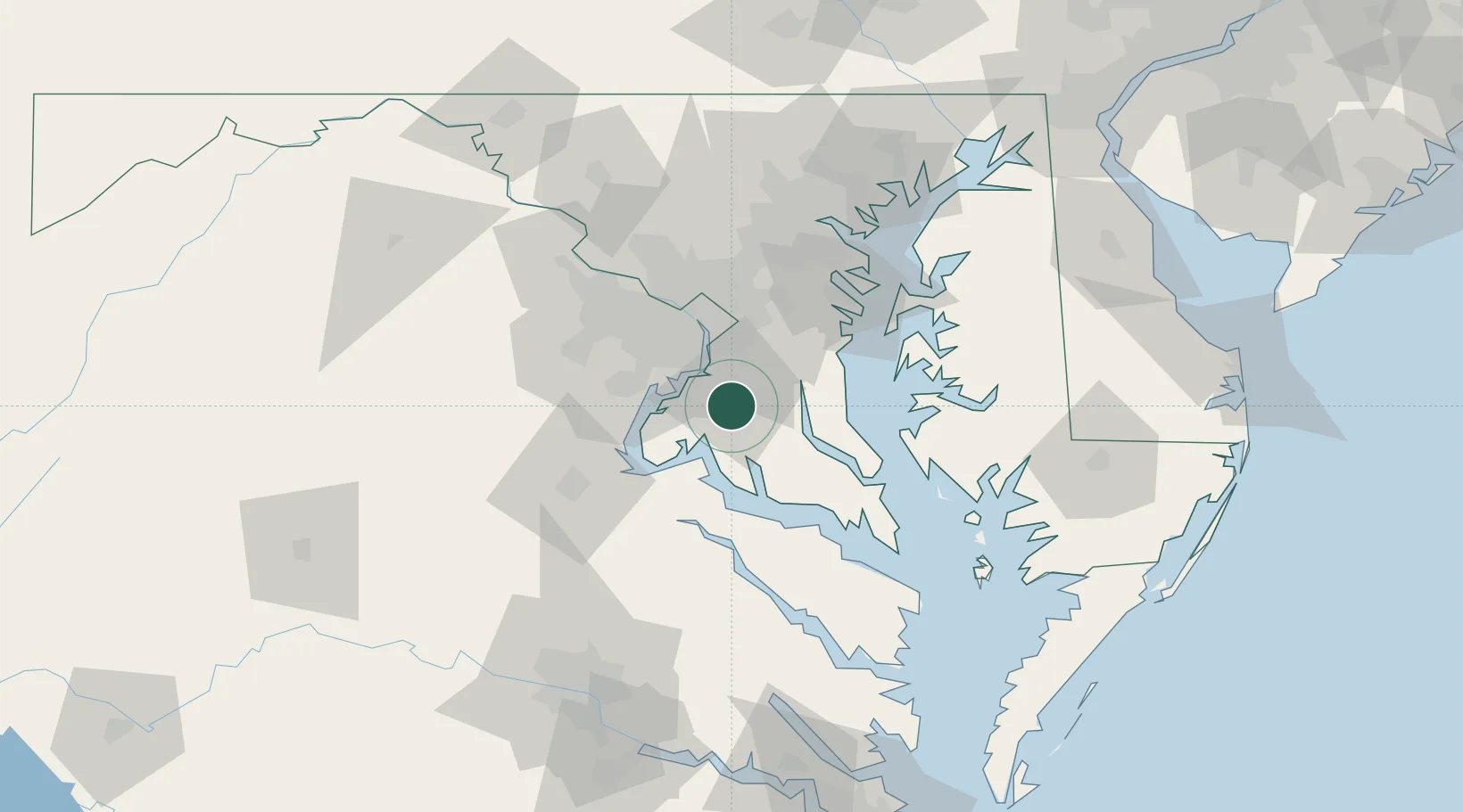
Place type
Populated place
Region
Maryland
Time zone
America/New_York
Elevation
60 m
Location
Nearby Logistics Neighbours
Cities
- 1Indian Head19 km
- 2Andrews AFB23 km
- 3Alexandria26 km
- 4Marlow Heights26 km
- 5Upper Malboro29 km
Ports
- 1Alexandria26 km
- 2Washington D.C.33 km
- 3Solomons Island52 km
- 4Fredericksburg55 km
- 5Annapolis59 km
Airports
Trade Zones
DatabookThe Record of Consolidated Knowledge
United States beyond logistics?