UN/LOCODE hub · United States
USZBZ

Cardiff by the Sea

33.0167°, -117.2667°
1
Transport functions

Transport Functions

Multimodal
UN/LOCODE

Hub Profile

Place type
Urban district
GeoNames
Region
California
GeoNames
Time zone
America/Los_Angeles
GeoNames
Elevation
24 m
GeoNames

Location

Location of USZBZ
Natural Earth 10m (public domain) · California · USZBZ · 33.02, -117.27GoogleOSMYandex

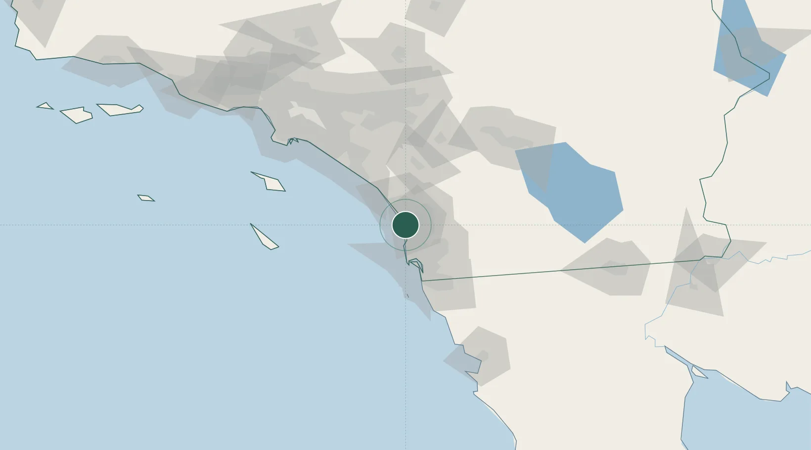
Nearby Logistics Neighbours

Cities
  1. 1Del Mar, San Diego6 km
  2. 2Leucadia6 km
  3. 3Sorrento14 km
  4. 4Rancho Bernardo20 km
  5. 5Lakeside38 km
Nearest neighbours — logibook spatial index (haversine) over the source coordinates
Ports
  1. 1San Diego34 km
  2. 2Rosarito74 km
  3. 3Newport Beach89 km
  4. 4Avalon105 km
  5. 5Long Beach119 km
Nearest neighbours — logibook spatial index (haversine) over the source coordinates
Airports
  1. 1McClellan-Palomar Airport13 km
  2. 2Miramar Marine Corps Air Station - Mitscher Field20 km
  3. 3Oceanside Municipal Airport24 km
  4. 4San Diego International Airport32 km
  5. 5Camp Pendleton MCAS (Munn Field) Airport33 km
Nearest neighbours — logibook spatial index (haversine) over the source coordinates
Trade Zones
  1. 1FTZ No. 153 San Diego49 km
  2. 2FTZ No. 244 Riverside County100 km
  3. 3FTZ No. 236 Palm Springs114 km
  4. 4FTZ No. 050 Long Beach120 km
  5. 5FTZ No. 202 Los Angeles124 km
Nearest neighbours — logibook spatial index (haversine) over the source coordinates
DatabookThe Record of Consolidated Knowledge
United States beyond logistics?
Browse databook

All Sources

LocationsUN/LOCODE
UN/LOCODE — free
Portsthe NGA World Port Index
Public domain (US gov)
AirportsOurAirports
Public domain
Trade Zonesthe World Bank SEZ database
CC BY 4.0
Trade ZonesOpen Zone Map
CC BY
← United States locations