UN/LOCODE hub · United States
USKSI
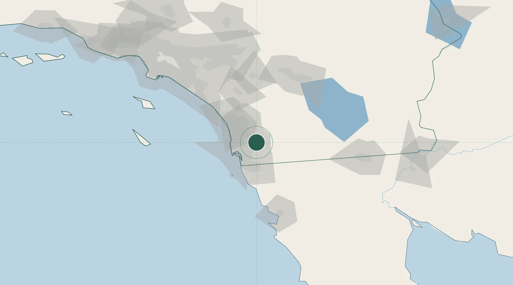
Lakeside
32.8500°, -116.9167°
20,648
Population
2
Transport functions
Transport Functions
Road
Multimodal
Hub Profile
Place type
Populated place
Region
California
Population
20,648
Time zone
America/Los_Angeles
Elevation
126 m
Location
Nearby Logistics Neighbours
Cities
- 1Spring Valley, San Diego14 km
- 2Lemon Grove17 km
- 3Rancho Bernardo22 km
- 4San Diego23 km
- 5Bonita24 km
Ports
- 1San Diego29 km
- 2Rosarito56 km
- 3Ensenada113 km
- 4Newport Beach125 km
- 5Avalon142 km
Airports
Trade Zones
- 1FTZ No. 153 San Diego30 km
- 2FTZ No. 236 Palm Springs115 km
- 3FTZ No. 244 Riverside County123 km
- 4FTZ No. 257 Imperial County128 km
- 5FTZ No. 050 Long Beach156 km
DatabookThe Record of Consolidated Knowledge
United States beyond logistics?