UN/LOCODE hub · United States
USDM2

Del Mar, San Diego

32.9667°, -117.2667°
3
Transport functions

Transport Functions

Rail
Road
Multimodal
UN/LOCODE

Hub Profile

Region
CA
GeoNames

Location

Location of USDM2
Natural Earth 10m (public domain) · CA · USDM2 · 32.97, -117.27GoogleOSMYandex

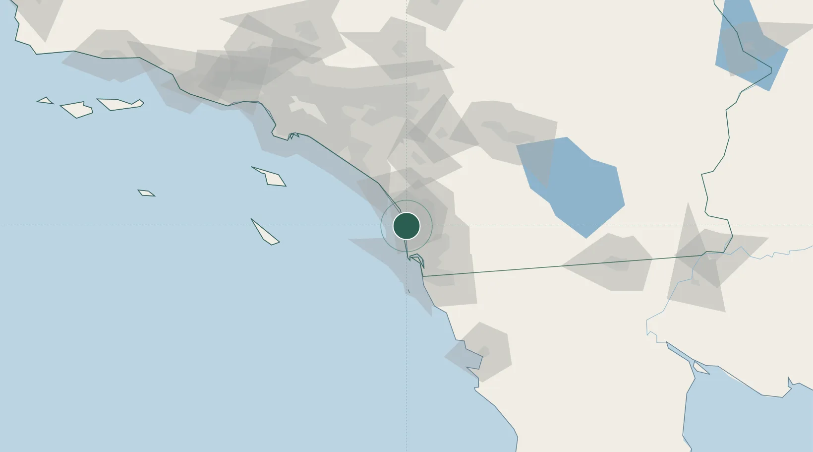
Nearby Logistics Neighbours

Cities
  1. 1Cardiff by the Sea6 km
  2. 2Sorrento9 km
  3. 3Leucadia12 km
  4. 4Rancho Bernardo21 km
  5. 5Coronado33 km
Nearest neighbours — logibook spatial index (haversine) over the source coordinates
Ports
  1. 1San Diego29 km
  2. 2Rosarito69 km
  3. 3Newport Beach93 km
  4. 4Avalon107 km
  5. 5Long Beach123 km
Nearest neighbours — logibook spatial index (haversine) over the source coordinates
Airports
  1. 1Miramar Marine Corps Air Station - Mitscher Field16 km
  2. 2McClellan-Palomar Airport18 km
  3. 3San Diego International Airport27 km
  4. 4Oceanside Municipal Airport29 km
  5. 5North Island Naval Air Station-Halsey Field30 km
Nearest neighbours — logibook spatial index (haversine) over the source coordinates
Trade Zones
  1. 1FTZ No. 153 San Diego44 km
  2. 2FTZ No. 244 Riverside County105 km
  3. 3FTZ No. 236 Palm Springs118 km
  4. 4FTZ No. 050 Long Beach124 km
  5. 5FTZ No. 202 Los Angeles128 km
Nearest neighbours — logibook spatial index (haversine) over the source coordinates
DatabookThe Record of Consolidated Knowledge
United States beyond logistics?
Browse databook

All Sources

LocationsUN/LOCODE
UN/LOCODE — free
Portsthe NGA World Port Index
Public domain (US gov)
AirportsOurAirports
Public domain
Trade Zonesthe World Bank SEZ database
CC BY 4.0
Trade ZonesOpen Zone Map
CC BY
← United States locations