Medium airport · United States
McClellan-Palomar AirportKCRQ
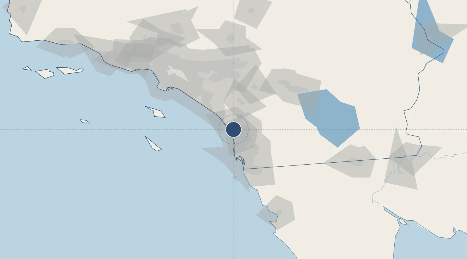
33.1283°, -117.2800°
4,897 ft
Longest runway
1
Runways
331 ft
Elevation
Runway & Layout

Radio Frequencies
ATIS
120.15 MHz
TWR
118.6 MHz
GND
121.8 MHz
CLD
134.85 MHz
CLNC DEL
CTAF
118.6 MHz
A/D
127.3 MHz
SOCAL APP/DEP
RDO
115.3 MHz
SAN DIEGO RDO
Runways · 1
| Runway | Dimensions | Surface | True heading | Lit |
|---|---|---|---|---|
| 06/24 | 4,897 × 150ft | Asphalt | 079° | ✓ |
Airport Specifications
IATA code
CLD
ICAO code
KCRQ
Airport class
Medium airport
Scheduled service
Yes
Runway surface
Asphalt
Served city
Carlsbad
Location
Nearby Logistics Neighbours
Airports
Cities
- 1Leucadia7 km
- 2Cardiff by the Sea13 km
- 3Del Mar, San Diego18 km
- 4Rancho Bernardo25 km
- 5Sorrento26 km
Ports
- 1San Diego47 km
- 2Newport Beach79 km
- 3Rosarito86 km
- 4Avalon100 km
- 5Long Beach110 km
Trade Zones
- 1FTZ No. 153 San Diego61 km
- 2FTZ No. 244 Riverside County87 km
- 3FTZ No. 236 Palm Springs105 km
- 4FTZ No. 050 Long Beach110 km
- 5FTZ No. 202 Los Angeles115 km
DatabookThe Record of Consolidated Knowledge
United States beyond logistics?