Transport Functions
Port
Road
Multimodal
Hub Profile
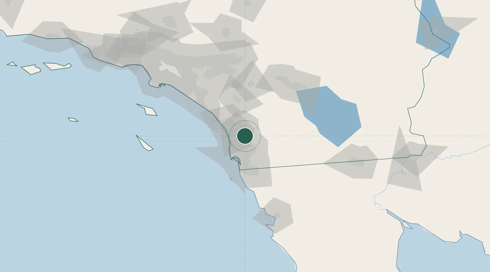
Place type
Urban district
Region
California
Time zone
America/Los_Angeles
Elevation
143 m
Location
Nearby Logistics Neighbours
Cities
- 1Cardiff by the Sea20 km
- 2Sorrento20 km
- 3Del Mar, San Diego21 km
- 4Lakeside22 km
- 5Leucadia24 km
Ports
- 1San Diego36 km
- 2Rosarito72 km
- 3Newport Beach103 km
- 4Avalon124 km
- 5Ensenada134 km
Airports
Trade Zones
- 1FTZ No. 153 San Diego45 km
- 2FTZ No. 244 Riverside County102 km
- 3FTZ No. 236 Palm Springs103 km
- 4FTZ No. 050 Long Beach134 km
- 5FTZ No. 202 Los Angeles140 km
DatabookThe Record of Consolidated Knowledge
United States beyond logistics?