Medium airport · United States
Oceanside Municipal AirportKOKB
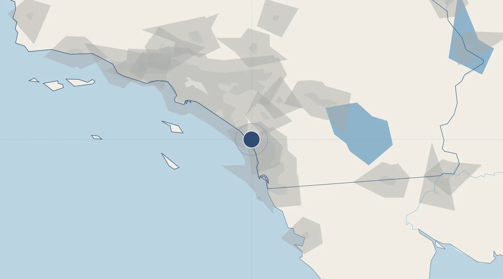
33.2179°, -117.3517°
2,712 ft
Longest runway
1
Runways
28 ft
Elevation
Runway & Layout

Radio Frequencies
ASOS
127.8 MHz
A/D
127.3 MHz
SOCAL APP/DEP
RDO
115.3 MHz
SAN DIEGO RDO
UNIC
123 MHz
CTAF/UNICOM
Runways · 1
| Runway | Dimensions | Surface | True heading | Lit |
|---|---|---|---|---|
| 07/25 | 2,712 × 75ft | Asphalt | 074° | ✓ |
Airport Specifications
IATA code
OCN
ICAO code
KOKB
Airport class
Medium airport
Scheduled service
No
Runway surface
Asphalt
Served city
Oceanside
Location
Nearby Logistics Neighbours
Airports
Cities
- 1Leucadia18 km
- 2Cardiff by the Sea24 km
- 3Del Mar, San Diego29 km
- 4Rancho Bernardo36 km
- 5Sorrento38 km
Ports
- 1San Diego58 km
- 2Newport Beach68 km
- 3Avalon91 km
- 4Rosarito98 km
- 5Long Beach98 km
Trade Zones
- 1FTZ No. 153 San Diego73 km
- 2FTZ No. 244 Riverside County77 km
- 3FTZ No. 050 Long Beach98 km
- 4FTZ No. 236 Palm Springs103 km
- 5FTZ No. 202 Los Angeles104 km
DatabookThe Record of Consolidated Knowledge
United States beyond logistics?