Medium airport · United States
Camp Pendleton MCAS (Munn Field) AirportKNFG
33.3013°, -117.3550°
6,005 ft
Longest runway
1
Runways
78 ft
Elevation
Runway & Layout

Radio Frequencies
ATIS
26.76 MHz
TWR
128.775 MHz
GND
128.775 MHz
CLD
126.2 MHz
CLNC DEL
APP
128.45 MHz
APP/DEP
A/D
127.3 MHz
SOCAL APP/DEP
MISC
123.2 MHz
MCB RANGE CON
OPS
26.5 MHz
BASE OPS
PMSV
34.24 MHz
PMSV METRO
Navaids
NFG TACAN Camp Pendleton 111.80 MHz
OCN VORTAC Oceanside 115.30 MHz
Runways · 1
| Runway | Dimensions | Surface | True heading | Lit |
|---|---|---|---|---|
| 03/21 | 6,005 × 221ft | Asphalt | 045° | ✓ |
Airport Specifications
ICAO code
KNFG
Airport class
Medium airport
Scheduled service
No
Runway surface
Asphalt
Served city
Oceanside
Location
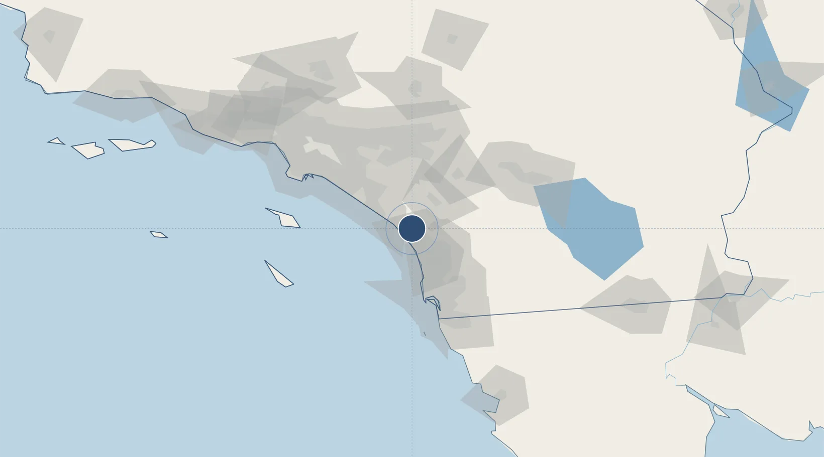
Nearby Logistics Neighbours
Airports
Cities
- 1Leucadia27 km
- 2Cardiff by the Sea33 km
- 3Del Mar, San Diego38 km
- 4Lake Elsinore41 km
- 5Rancho Bernardo43 km
Ports
- 1Newport Beach62 km
- 2San Diego67 km
- 3Avalon90 km
- 4Long Beach93 km
- 5Los Angeles97 km
Trade Zones
- 1FTZ No. 244 Riverside County68 km
- 2FTZ No. 153 San Diego81 km
- 3FTZ No. 050 Long Beach92 km
- 4FTZ No. 236 Palm Springs97 km
- 5FTZ No. 202 Los Angeles99 km
DatabookThe Record of Consolidated Knowledge
United States beyond logistics?