Transport Functions
Multimodal
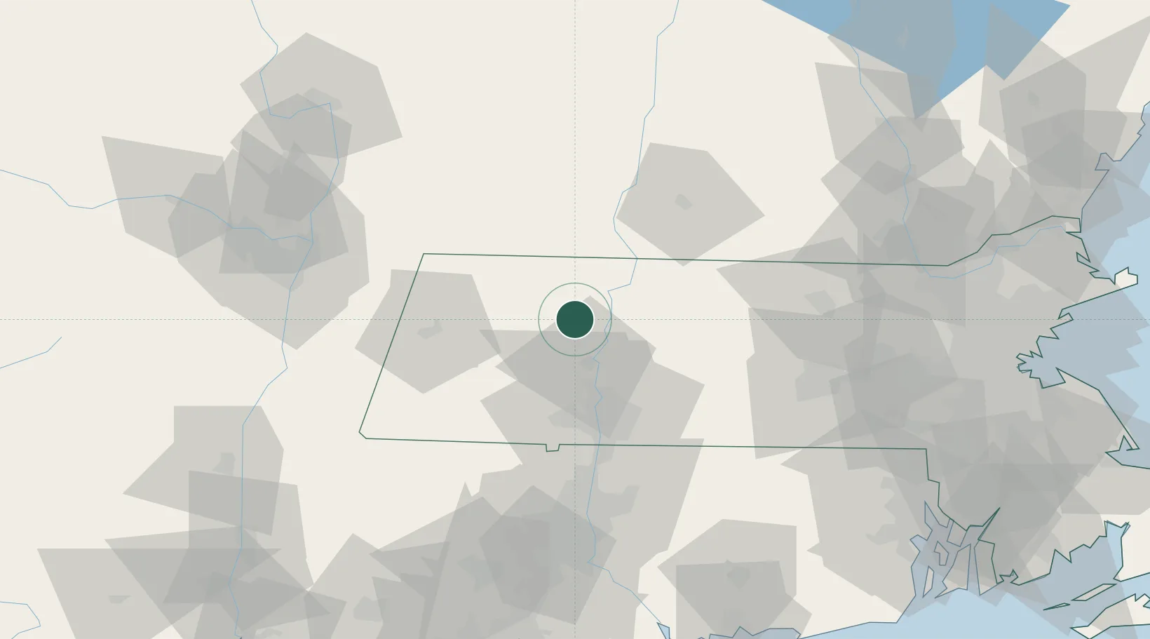
Hub Profile
Place type
Populated place
Region
Massachusetts
Population
1,841
Time zone
America/New_York
Elevation
172 m
Location
Nearby Logistics Neighbours
Cities
- 1Rockfall4 km
- 2South Deerfield8 km
- 3Whately9 km
- 4Turners Falls15 km
- 5Northampton19 km
Ports
- 1Troy86 km
- 2Albany88 km
- 3Rensselaer88 km
- 4Catskill100 km
- 5Norwich121 km
Airports
Trade Zones
DatabookThe Record of Consolidated Knowledge
United States beyond logistics?