UN/LOCODE hub · United States
USDDF
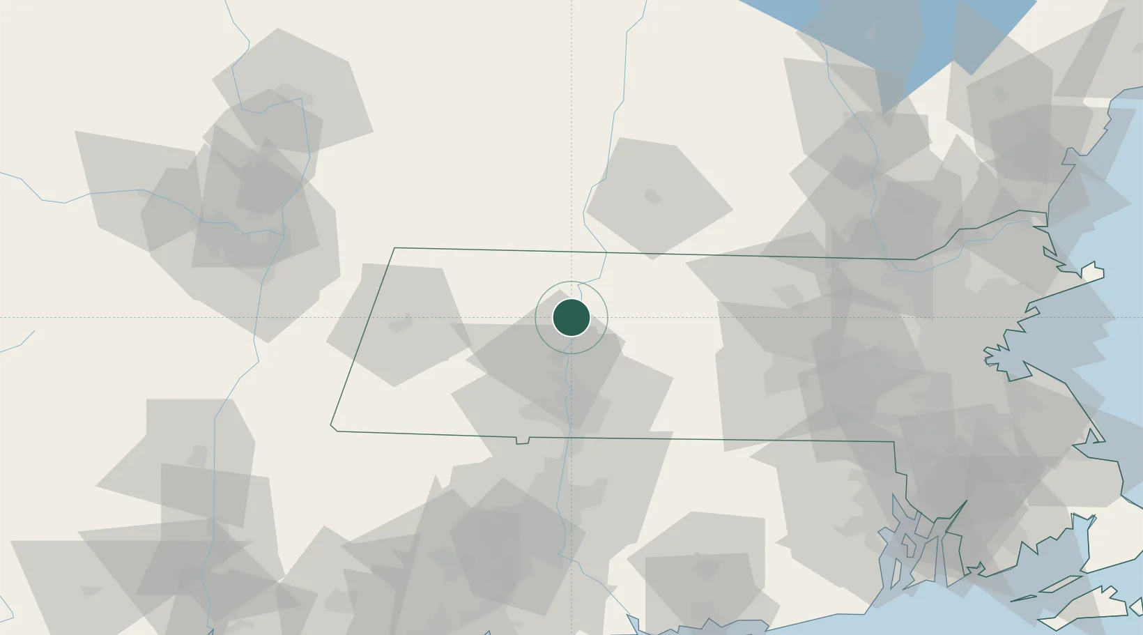
South Deerfield
42.4833°, -72.6000°
1,880
Population
2
Transport functions
Transport Functions
Rail
Road
Hub Profile
Place type
Populated place
Region
Massachusetts
Population
1,880
Time zone
America/New_York
Elevation
60 m
Location
Nearby Logistics Neighbours
Cities
- 1Whately6 km
- 2Conway8 km
- 3Rockfall10 km
- 4Turners Falls12 km
- 5Northampton17 km
Ports
- 1Troy94 km
- 2Albany96 km
- 3Rensselaer96 km
- 4Catskill107 km
- 5Norwich116 km
Airports
Trade Zones
- 1FTZ No. 201 Holyoke30 km
- 2FTZ No. 268 Brattleboro42 km
- 3FTZ No. 071 Windsor Locks62 km
- 4FTZ No. 121 Albany103 km
- 5FTZ No. 105 Providence and North Kingstown120 km
DatabookThe Record of Consolidated Knowledge
United States beyond logistics?