Transport Functions
Port
Rail
Road
Multimodal
Hub Profile
Place type
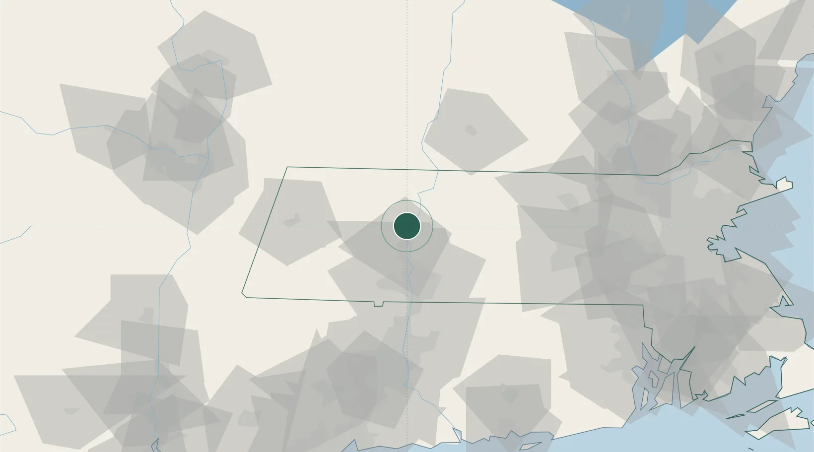
Populated place
Region
Massachusetts
Population
1,600
Time zone
America/New_York
Elevation
84 m
Location
Nearby Logistics Neighbours
Cities
- 1South Deerfield6 km
- 2Conway9 km
- 3Northampton11 km
- 4Rockfall12 km
- 5Turners Falls18 km
Ports
- 1Troy94 km
- 2Albany95 km
- 3Rensselaer95 km
- 4Catskill103 km
- 5Norwich112 km
Airports
Trade Zones
- 1FTZ No. 201 Holyoke24 km
- 2FTZ No. 268 Brattleboro48 km
- 3FTZ No. 071 Windsor Locks56 km
- 4FTZ No. 121 Albany102 km
- 5FTZ No. 105 Providence and North Kingstown119 km
DatabookThe Record of Consolidated Knowledge
United States beyond logistics?