UN/LOCODE hub · United States
USM4U
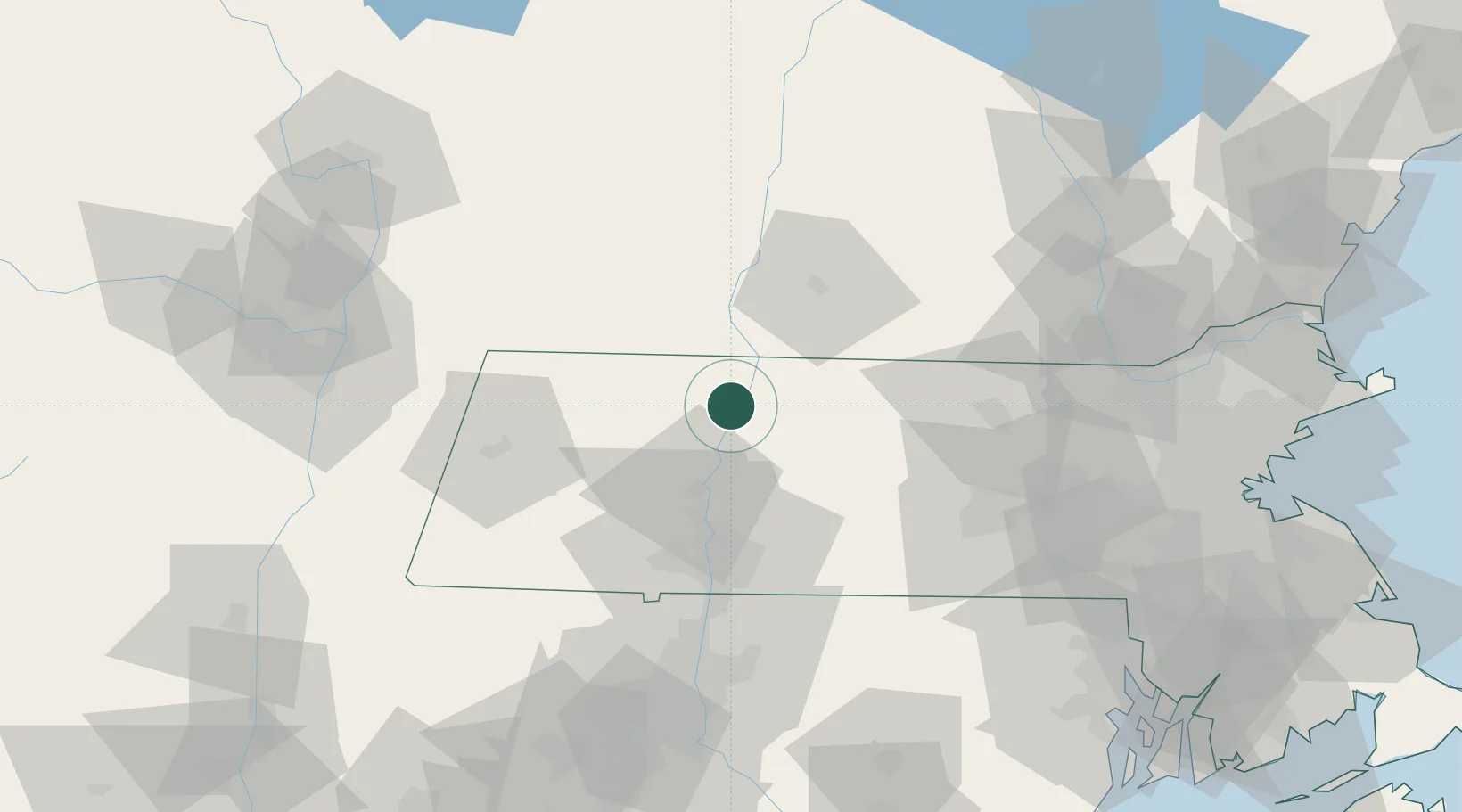
Turners Falls
42.5833°, -72.5500°
4,470
Population
2
Transport functions
Transport Functions
Port
Road
Hub Profile
Place type
Populated place
Region
Massachusetts
Population
4,470
Time zone
America/New_York
Elevation
74 m
Location
Nearby Logistics Neighbours
Cities
- 1South Deerfield12 km
- 2Erving12 km
- 3Rockfall14 km
- 4Conway15 km
- 5Whately18 km
Ports
- 1Troy96 km
- 2Albany99 km
- 3Rensselaer99 km
- 4Catskill114 km
- 5Norwich125 km
Airports
Trade Zones
- 1FTZ No. 268 Brattleboro31 km
- 2FTZ No. 201 Holyoke42 km
- 3FTZ No. 071 Windsor Locks73 km
- 4FTZ No. 121 Albany105 km
- 5FTZ No. 027 Boston122 km
DatabookThe Record of Consolidated Knowledge
United States beyond logistics?