UN/LOCODE hub · United States
USNHM
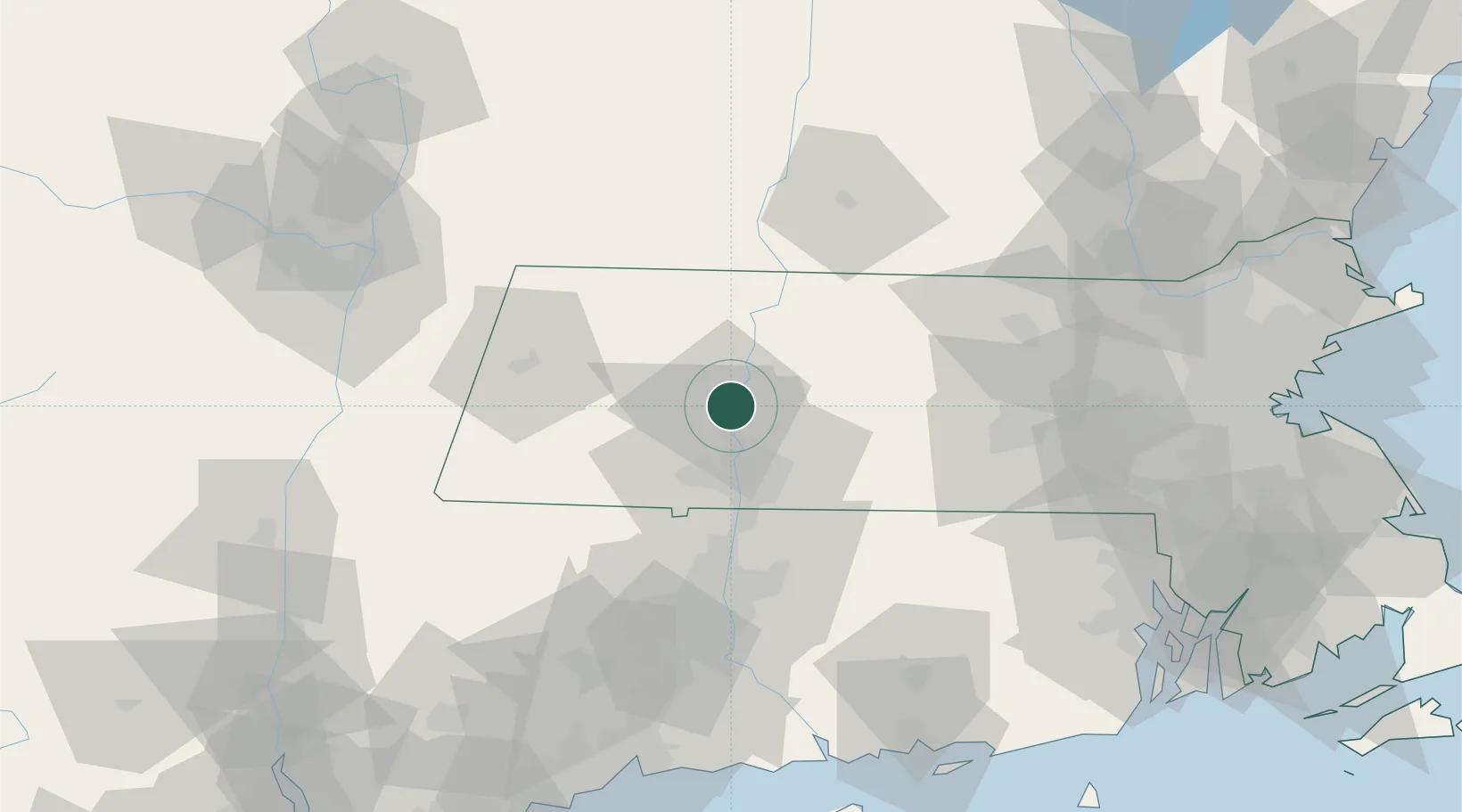
Northampton
42.3333°, -72.6333°
28,540
Population
3
Transport functions
Transport Functions
Port
Rail
Road
Hub Profile
Place type
Populated place
Region
Massachusetts
Population
28,540
Time zone
America/New_York
Elevation
76 m
Location
Nearby Logistics Neighbours
Cities
- 1Whately11 km
- 2South Deerfield17 km
- 3Conway19 km
- 4Belchertown21 km
- 5Rockfall23 km
Ports
- 1Troy98 km
- 2Albany98 km
- 3Rensselaer98 km
- 4Catskill101 km
- 5Norwich102 km
Airports
Trade Zones
- 1FTZ No. 201 Holyoke14 km
- 2FTZ No. 071 Windsor Locks45 km
- 3FTZ No. 268 Brattleboro59 km
- 4FTZ No. 121 Albany106 km
- 5FTZ No. 105 Providence and North Kingstown113 km
DatabookThe Record of Consolidated Knowledge
United States beyond logistics?