UN/LOCODE hub · United States
USRF4

Rockfall

42.5333°, -72.7000°
3
Transport functions

Transport Functions

Rail
Road
Multimodal
UN/LOCODE

Hub Profile

Region
CT
GeoNames

Location

Location of USRF4
Natural Earth 10m (public domain) · CT · USRF4 · 42.53, -72.70GoogleOSMYandex

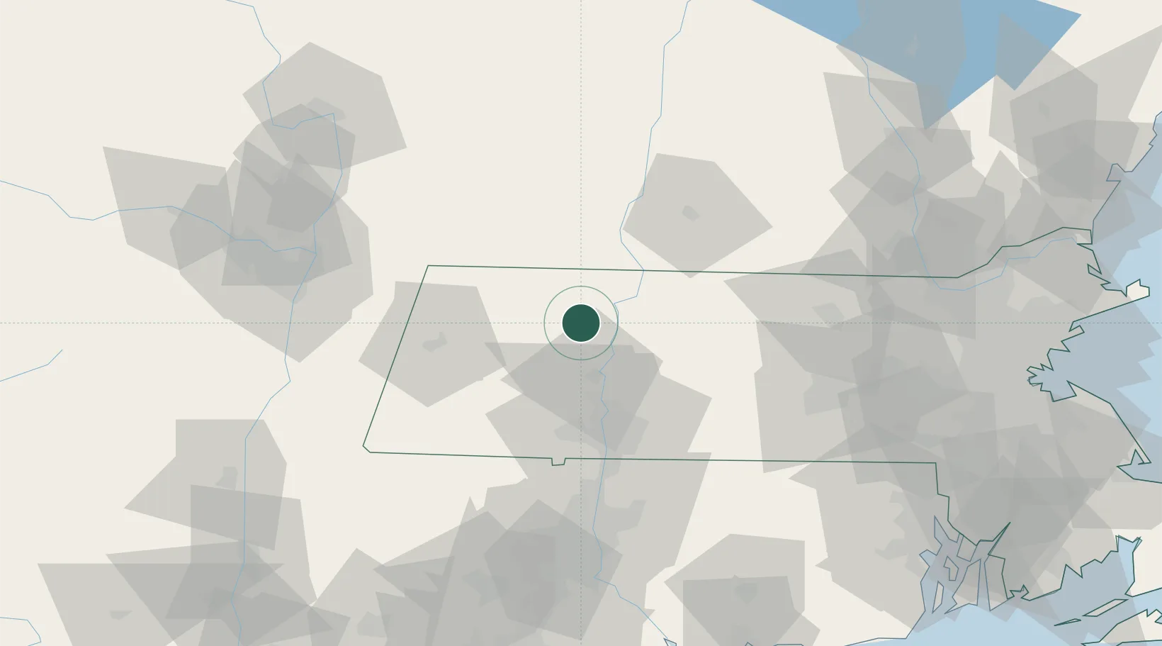
Nearby Logistics Neighbours

Cities
  1. 1Conway4 km
  2. 2South Deerfield10 km
  3. 3Whately12 km
  4. 4Turners Falls14 km
  5. 5Northampton23 km
Nearest neighbours — logibook spatial index (haversine) over the source coordinates
Ports
  1. 1Troy85 km
  2. 2Albany87 km
  3. 3Rensselaer87 km
  4. 4Catskill101 km
  5. 5Kingston124 km
Nearest neighbours — logibook spatial index (haversine) over the source coordinates
Airports
  1. 1Westover Metropolitan Airport / Westover Air Reserve Base40 km
  2. 2Westfield-Barnes Regional Airport42 km
  3. 3Dillant Hopkins Airport54 km
  4. 4Bradley International Airport66 km
  5. 5Worcester Regional Airport74 km
Nearest neighbours — logibook spatial index (haversine) over the source coordinates
Trade Zones
  1. 1FTZ No. 201 Holyoke34 km
  2. 2FTZ No. 268 Brattleboro37 km
  3. 3FTZ No. 071 Windsor Locks67 km
  4. 4FTZ No. 121 Albany94 km
  5. 5FTZ No. 105 Providence and North Kingstown130 km
Nearest neighbours — logibook spatial index (haversine) over the source coordinates
DatabookThe Record of Consolidated Knowledge
United States beyond logistics?
Browse databook

All Sources

LocationsUN/LOCODE
UN/LOCODE — free
Portsthe NGA World Port Index
Public domain (US gov)
AirportsOurAirports
Public domain
Trade Zonesthe World Bank SEZ database
CC BY 4.0
Trade ZonesOpen Zone Map
CC BY
← United States locations