Transport Functions
Rail
Road
Hub Profile
Region
CO
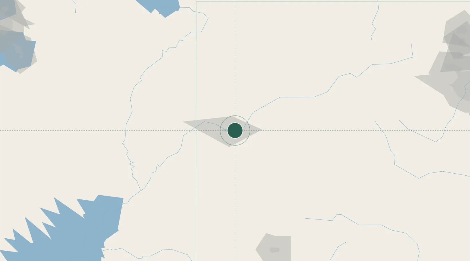
Location
Nearby Logistics Neighbours
Ports
- 1Newport Beach1040 km
- 2Long Beach1050 km
- 3San Diego1056 km
- 4Los Angeles1056 km
- 5El Segundo1059 km
Airports
Trade Zones
- 1FTZ No. 298 Jefferson County294 km
- 2FTZ No. 123 Denver308 km
- 3FTZ No. 112 Colorado Springs316 km
- 4FTZ No. 030 Salt Lake City355 km
- 5FTZ No. 293 Limon412 km
DatabookThe Record of Consolidated Knowledge
United States beyond logistics?