UN/LOCODE hub · United States
USPHU
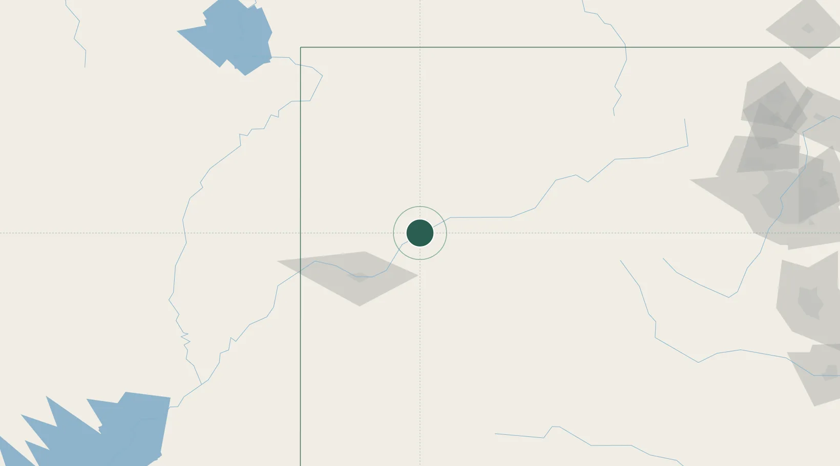
Parachute
39.4500°, -108.0500°
1,105
Population
3
Transport functions
Transport Functions
Rail
Road
Multimodal
Hub Profile
Place type
Populated place
Region
Colorado
Population
1,105
Time zone
America/Denver
Elevation
1,552 m
Location
Nearby Logistics Neighbours
Cities
- 1Clifton, Mesa54 km
- 2Carbondale73 km
- 3Somerset76 km
- 4Ash Grove77 km
- 5Austin77 km
Ports
- 1Newport Beach1092 km
- 2Long Beach1102 km
- 3Los Angeles1108 km
- 4San Diego1110 km
- 5El Segundo1111 km
Airports
Trade Zones
- 1FTZ No. 298 Jefferson County250 km
- 2FTZ No. 123 Denver264 km
- 3FTZ No. 112 Colorado Springs287 km
- 4FTZ No. 030 Salt Lake City366 km
- 5FTZ No. 293 Limon376 km
DatabookThe Record of Consolidated Knowledge
United States beyond logistics?