Transport Functions
Multimodal
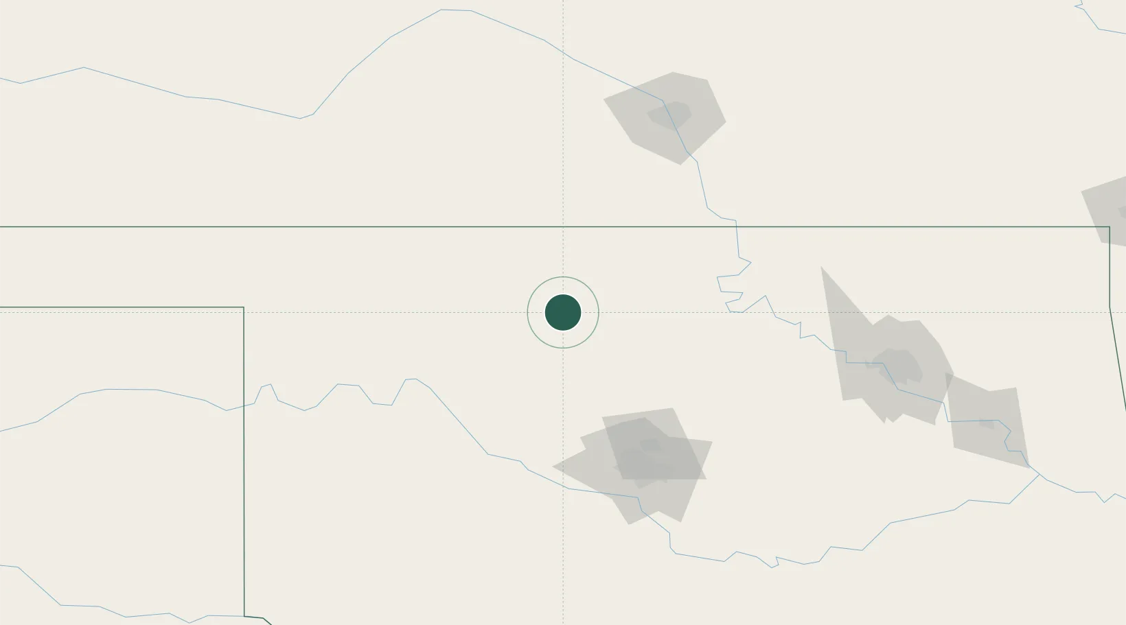
Hub Profile
Place type
Populated place
Region
Oklahoma
Population
89
Time zone
America/Chicago
Elevation
411 m
Location
Nearby Logistics Neighbours
Cities
- 1Lahoma11 km
- 2Dover57 km
- 3Manchester59 km
- 4Alva68 km
- 5Tonkawa68 km
Ports
- 1Port Of Memphis725 km
- 2Deer Park788 km
- 3Houston789 km
- 4Pasadena795 km
- 5Beaumont798 km
Airports
- 1Vance Air Force Base17 km
- 2Ponca City Regional Airport87 km
- 3Stillwater Regional Airport90 km
- 4OKC Will Rogers World Airport125 km
- 5Tinker Air Force Base130 km
Trade Zones
- 1FTZ No. 106 Oklahoma City120 km
- 2FTZ No. 161 Sedgwick County138 km
- 3FTZ No. 053 Rogers County194 km
- 4FTZ No. 164 Muskogee246 km
- 5FTZ No. 227 Durant311 km
DatabookThe Record of Consolidated Knowledge
United States beyond logistics?