Foreign Trade Zone · United States
FTZ No. 164 Muskogee Inactive
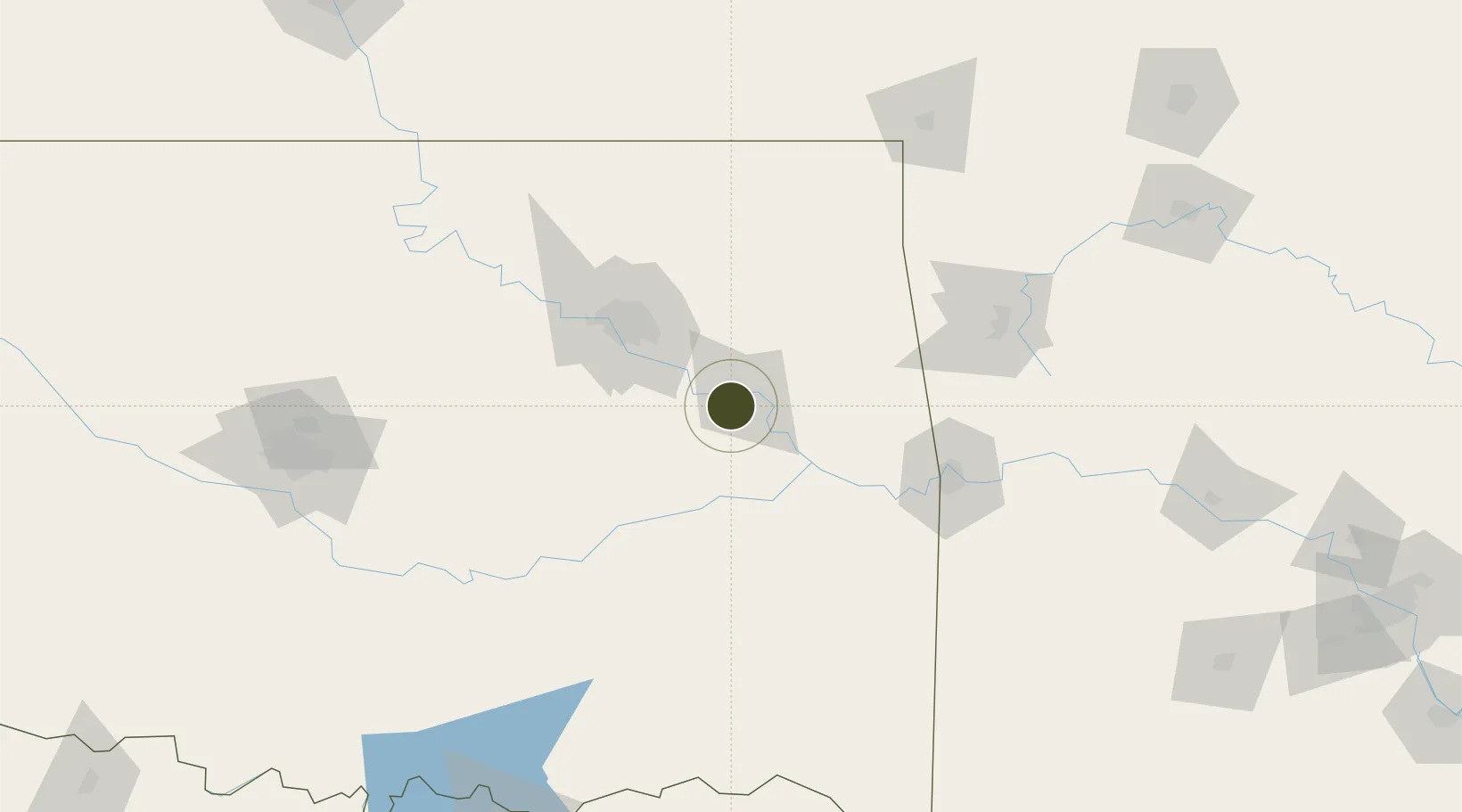
35.7306°, -95.4406°
483.6 km
Nearest port
59.9 km
Nearest airport
Gateway access
Zone profile
Zone type
Foreign Trade Zone
Region
Oklahoma
Status
Inactive
Management
Public
Operator
Muskogee City-County Port Authority
Legal framework
Foreign-Trade Zones Act
Location
Nearby Logistics Neighbours
Ports
- 1Port Of Memphis484 km
- 2Beaumont641 km
- 3Lake Charles646 km
- 4Orange648 km
- 5Port Neches652 km
Airports
- 1Tulsa Riverside Airport60 km
- 2Tulsa International Airport66 km
- 3Mc Alester Regional Airport99 km
- 4Fort Smith Regional Airport107 km
- 5Drake Field119 km
Cities
- 1Fort Gibson18 km
- 2Haskell23 km
- 3Wagoner25 km
- 4Hulbert36 km
- 5Beggs57 km
Trade Zones
- 1FTZ No. 053 Rogers County77 km
- 2FTZ No. 106 Oklahoma City190 km
- 3FTZ No. 227 Durant211 km
- 4FTZ No. 258 Bowie County260 km
- 5FTZ No. 225 Springfield262 km
DatabookThe Record of Consolidated Knowledge
United States beyond logistics?