Medium airport · United States

Ponca City Regional AirportKPNC
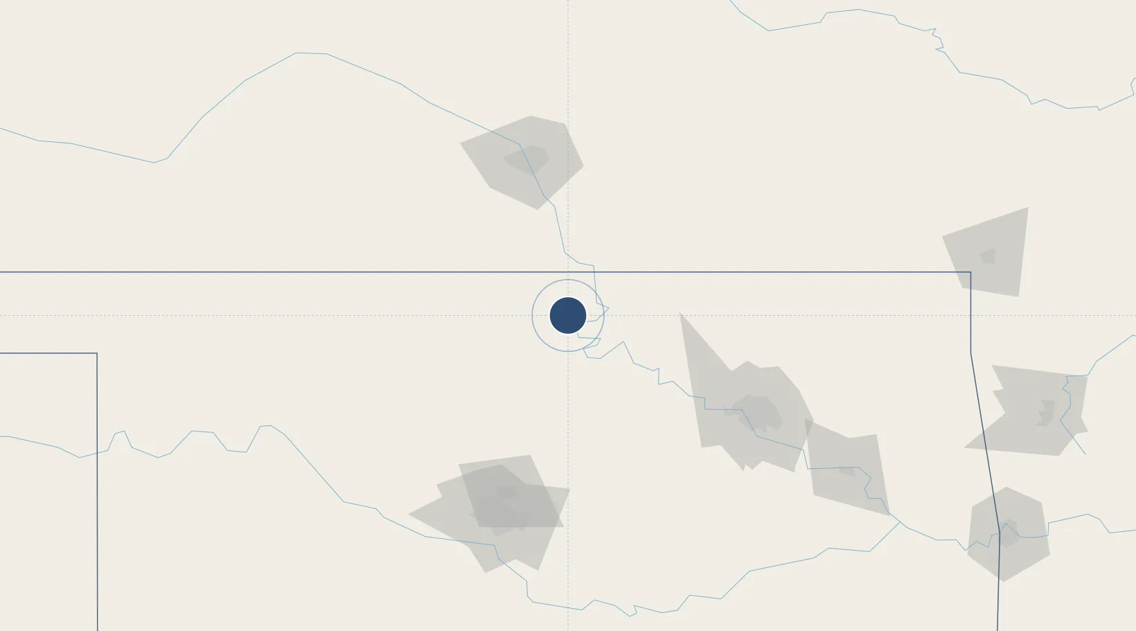
36.7320°, -97.0998°
7,201 ft
Longest runway
1
Runways
1,008 ft
Elevation

Runway & Layout

Ponca City Regional Airport runway & taxiway layout
Runway & taxiway layout — OpenStreetMap (ODbL) / OurAirports

Radio Frequencies

ASOS
134.075 MHz
CNTR
127.8 MHz
KANSAS CITY CNTR
RDO
122.25 MHz
MC ALESTER RDO
UNIC
123 MHz
CTAF/UNICOM
OurAirports

Runways · 1

RunwayDimensions SurfaceTrue headingLit
17/35 7,201 × 100ft Concrete 180°
OurAirports

Airport Specifications

IATA code
PNC
OurAirports
ICAO code
KPNC
OurAirports
Airport class
Medium airport
OurAirports
Scheduled service
No
OurAirports
Runway surface
Concrete
OurAirports
Served city
Ponca City
OurAirports

Location

Location of KPNC
Natural Earth 10m (public domain) · Oklahoma · KPNC · 36.73, -97.10GoogleOSMYandex

Nearby Logistics Neighbours

Airports
  1. 1Stillwater Regional Airport63 km
  2. 2Vance Air Force Base85 km
  3. 3McConnell Air Force Base100 km
  4. 4Wichita Dwight D. Eisenhower National Airport106 km
  5. 5Tulsa International Airport124 km
Nearest neighbours — logibook spatial index (haversine) over the source coordinates
Cities
  1. 1Tonkawa19 km
  2. 2Braman29 km
  3. 3Caldwell52 km
  4. 4Wellington62 km
  5. 5Cleveland73 km
Nearest neighbours — logibook spatial index (haversine) over the source coordinates
Ports
  1. 1Port Of Memphis651 km
  2. 2Beaumont790 km
  3. 3Deer Park794 km
  4. 4Houston795 km
  5. 5Pasadena799 km
Nearest neighbours — logibook spatial index (haversine) over the source coordinates
Trade Zones
  1. 1FTZ No. 053 Rogers County120 km
  2. 2FTZ No. 161 Sedgwick County122 km
  3. 3FTZ No. 106 Oklahoma City146 km
  4. 4FTZ No. 164 Muskogee186 km
  5. 5FTZ No. 015 Kansas City304 km
Nearest neighbours — logibook spatial index (haversine) over the source coordinates
DatabookThe Record of Consolidated Knowledge
United States beyond logistics?
Browse databook

All Sources

AirportsOurAirports
Public domain
Portsthe NGA World Port Index
Public domain (US gov)
LocationsUN/LOCODE
UN/LOCODE — free
Trade Zonesthe World Bank SEZ database
CC BY 4.0
Trade ZonesOpen Zone Map
CC BY
InfrastructureOpenStreetMap
ODbL 1.0
← United States airports