Foreign Trade Zone · United States

FTZ No. 053 Rogers County Active
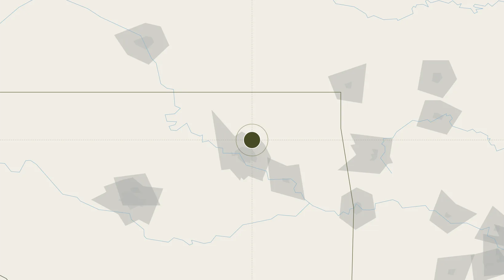
36.3361°, -95.8519°
532.3 km
Nearest port
15.8 km
Nearest airport

Gateway access

Nearest neighbours — logibook spatial index (haversine) over the source coordinates

Zone profile

Zone type
Foreign Trade Zone
Open Zone Map
Region
Oklahoma
Open Zone Map
Status
Active
Open Zone Map
Management
Public
Open Zone Map
Operator
City of Tulsa-Rogers County Port Authority
Open Zone Map
Legal framework
Foreign-Trade Zones Act
Open Zone Map

Location

Location of ozm-4868
Natural Earth 10m (public domain) · Oklahoma · ozm-4868 · 36.34, -95.85GoogleOSMYandex

Nearby Logistics Neighbours

Ports
  1. 1Port Of Memphis532 km
  2. 2Beaumont714 km
  3. 3Lake Charles722 km
  4. 4Orange723 km
  5. 5Port Neches726 km
Nearest neighbours — logibook spatial index (haversine) over the source coordinates
Airports
  1. 1Tulsa International Airport16 km
  2. 2Tulsa Riverside Airport35 km
  3. 3Stillwater Regional Airport112 km
  4. 4Ponca City Regional Airport120 km
  5. 5Northwest Arkansas National Airport139 km
Nearest neighbours — logibook spatial index (haversine) over the source coordinates
Cities
  1. 1Collinsville4 km
  2. 2Owasso8 km
  3. 3Oologah19 km
  4. 4Claremore23 km
  5. 5Jenks37 km
Nearest neighbours — logibook spatial index (haversine) over the source coordinates
Trade Zones
  1. 1FTZ No. 164 Muskogee77 km
  2. 2FTZ No. 106 Oklahoma City179 km
  3. 3FTZ No. 161 Sedgwick County227 km
  4. 4FTZ No. 225 Springfield259 km
  5. 5FTZ No. 227 Durant264 km
Nearest neighbours — logibook spatial index (haversine) over the source coordinates
DatabookThe Record of Consolidated Knowledge
United States beyond logistics?
Browse databook

All Sources

Trade ZonesOpen Zone Map
CC BY
Portsthe NGA World Port Index
Public domain (US gov)
AirportsOurAirports
Public domain
LocationsUN/LOCODE
UN/LOCODE — free
← United States trade zones