Medium airport · United States
Vance Air Force BaseKEND
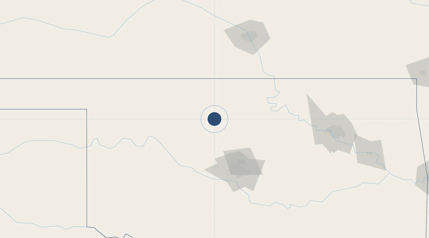
36.3392°, -97.9165°
9,217 ft
Longest runway
3
Runways
1,307 ft
Elevation
Runway & Layout

Radio Frequencies
ATIS
115.4 MHz
TWR
124.05 MHz
GND
121.8 MHz
CLD
22.54 MHz
CLNC DEL
APP
118.075 MHz
DEP
120.525 MHz
PMSV
34.255 MHz
PMSV METRO
PTD
37.22 MHz
Navaids
END VORTAC Vance 115.40 MHz
Runways · 3
| Runway | Dimensions | Surface | True heading | Lit |
|---|---|---|---|---|
| 17C/35C | 9,217 × 150ft | Asphalt / concrete | 180° | ✓ |
| 17R/35L | 9,217 × 150ft | Asphalt / concrete | 180° | ✓ |
| 17L/35R | 5,024 × 150ft | Concrete | 180° | ✓ |
Airport Specifications
IATA code
END
ICAO code
KEND
Airport class
Medium airport
Scheduled service
No
Runway surface
Asphalt / concrete
Served city
Enid
Location
Nearby Logistics Neighbours
Airports
- 1Stillwater Regional Airport77 km
- 2Ponca City Regional Airport85 km
- 3OKC Will Rogers World Airport109 km
- 4Tinker Air Force Base113 km
- 5West Woodward Airport144 km
Ports
- 1Port Of Memphis714 km
- 2Deer Park771 km
- 3Houston773 km
- 4Pasadena778 km
- 5Beaumont782 km
Trade Zones
- 1FTZ No. 106 Oklahoma City103 km
- 2FTZ No. 161 Sedgwick County151 km
- 3FTZ No. 053 Rogers County185 km
- 4FTZ No. 164 Muskogee233 km
- 5FTZ No. 227 Durant294 km
DatabookThe Record of Consolidated Knowledge
United States beyond logistics?