Transport Functions
Rail
Road
Multimodal
Hub Profile
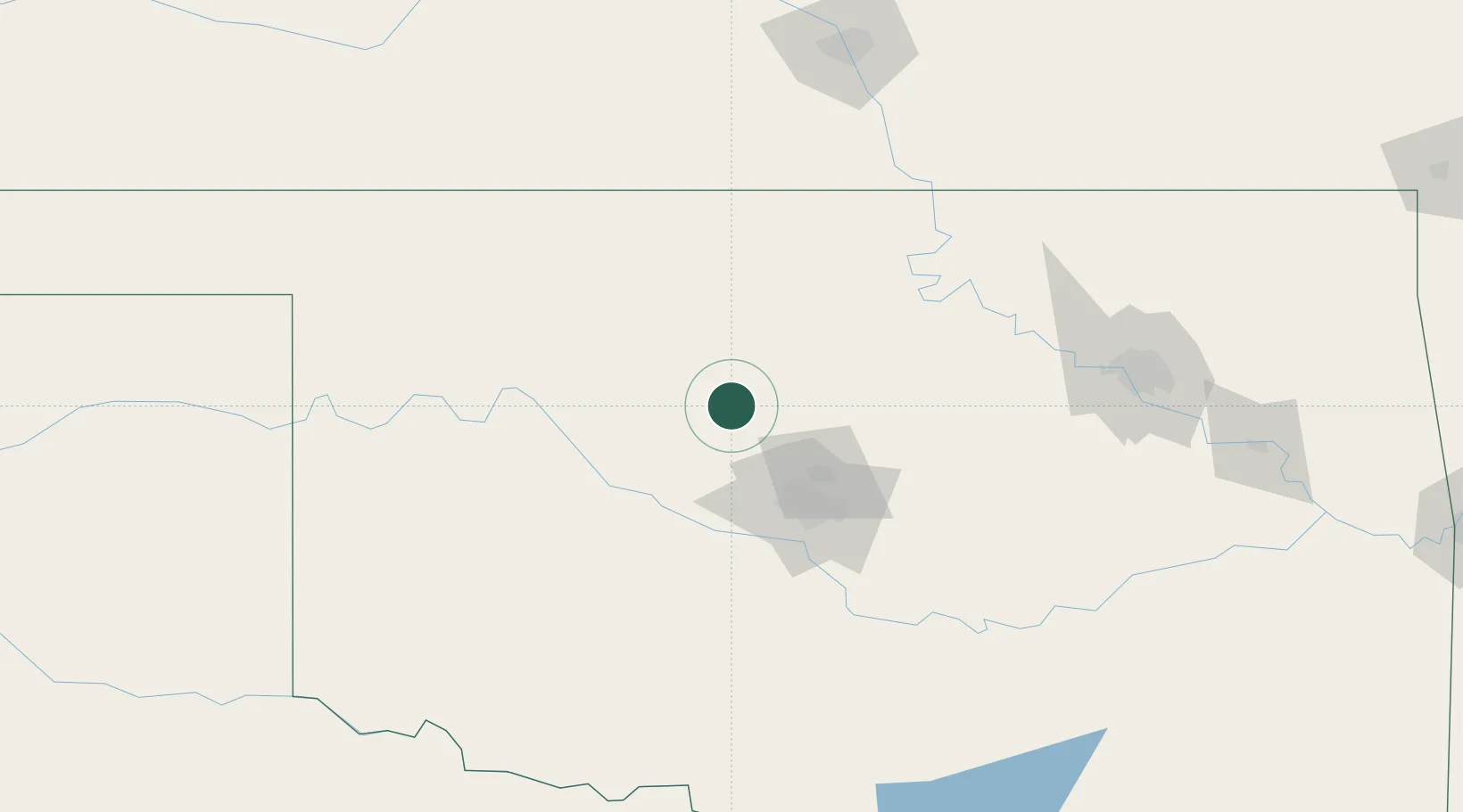
Place type
Populated place
Region
Oklahoma
Population
473
Time zone
America/Chicago
Elevation
315 m
Location
Nearby Logistics Neighbours
Ports
- 1Port Of Memphis707 km
- 2Deer Park732 km
- 3Houston733 km
- 4Pasadena739 km
- 5Baytown744 km
Airports
- 1Vance Air Force Base42 km
- 2OKC Will Rogers World Airport69 km
- 3Stillwater Regional Airport76 km
- 4Tinker Air Force Base77 km
- 5Ponca City Regional Airport111 km
Trade Zones
- 1FTZ No. 106 Oklahoma City65 km
- 2FTZ No. 053 Rogers County188 km
- 3FTZ No. 161 Sedgwick County192 km
- 4FTZ No. 164 Muskogee223 km
- 5FTZ No. 227 Durant258 km
DatabookThe Record of Consolidated Knowledge
United States beyond logistics?