Transport Functions
Rail
Road
Hub Profile
Place type
Populated place
Region
Oklahoma
Population
651
Time zone
America/Chicago
Elevation
379 m
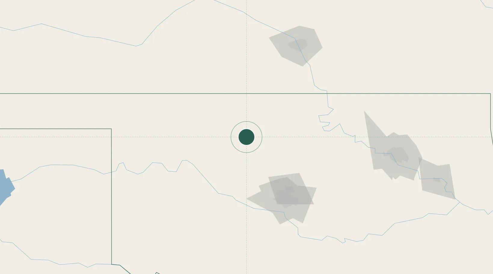
Location
Nearby Logistics Neighbours
Cities
- 1Carrier11 km
- 2Dover49 km
- 3Watonga66 km
- 4Alva69 km
- 5Manchester69 km
Ports
- 1Port Of Memphis729 km
- 2Deer Park781 km
- 3Houston782 km
- 4Pasadena788 km
- 5Baytown793 km
Airports
- 1Vance Air Force Base16 km
- 2Stillwater Regional Airport93 km
- 3Ponca City Regional Airport96 km
- 4OKC Will Rogers World Airport118 km
- 5Tinker Air Force Base125 km
Trade Zones
- 1FTZ No. 106 Oklahoma City114 km
- 2FTZ No. 161 Sedgwick County148 km
- 3FTZ No. 053 Rogers County200 km
- 4FTZ No. 164 Muskogee248 km
- 5FTZ No. 227 Durant306 km
DatabookThe Record of Consolidated Knowledge
United States beyond logistics?