Transport Functions
Port
Hub Profile
Place type
Provincial seat
Region
Oklahoma
Population
5,180
Time zone
America/Chicago
Elevation
411 m
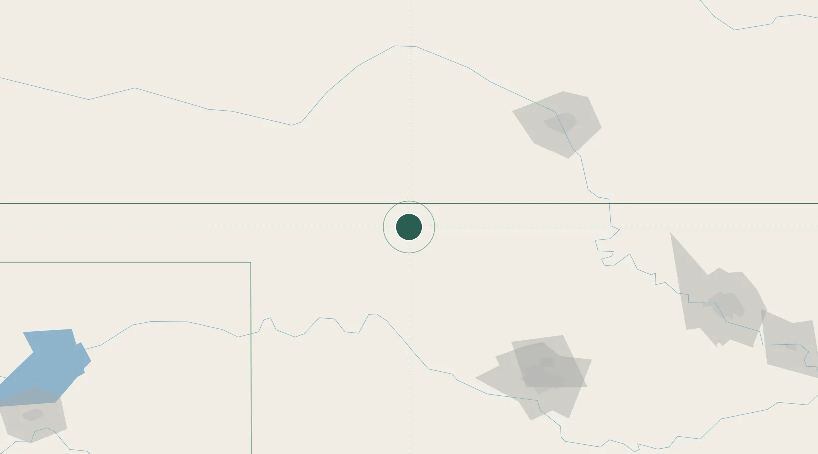
Location
Nearby Logistics Neighbours
Cities
- 1Medicine Lodge54 km
- 2Manchester59 km
- 3Mooreland63 km
- 4Lake City63 km
- 5Carrier68 km
Ports
- 1Port Of Memphis787 km
- 2Deer Park842 km
- 3Houston844 km
- 4Pasadena850 km
- 5Baytown855 km
Airports
Trade Zones
- 1FTZ No. 161 Sedgwick County127 km
- 2FTZ No. 106 Oklahoma City179 km
- 3FTZ No. 053 Rogers County255 km
- 4FTZ No. 164 Muskogee311 km
- 5FTZ No. 252 Amarillo340 km
DatabookThe Record of Consolidated Knowledge
United States beyond logistics?