Medium airport · United States
Stillwater Regional AirportKSWO
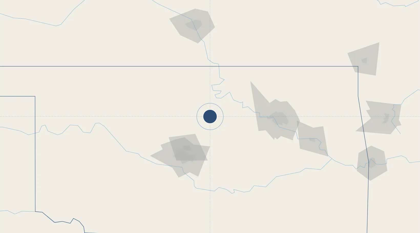
36.1621°, -97.0856°
7,401 ft
Longest runway
2
Runways
1,000 ft
Elevation
Runway & Layout

Radio Frequencies
ASOS
135.725 MHz
TWR
125.35 MHz
GND
121.6 MHz
CNTR
128.3 MHz
KANSAS CITY CNTR
RDO
122.3 MHz
MC ALESTER RDO
UNIC
122.7 MHz
CTAF/UNICOM
Navaids
SWO VOR-DME Stillwater 108.40 MHz
Runways · 2
| Runway | Dimensions | Surface | True heading | Lit |
|---|---|---|---|---|
| 17/35 | 7,401 × 100ft | Asphalt | 180° | ✓ |
| 04/22 | 5,002 × 75ft | Asphalt | 044° | ✓ |
Airport Specifications
IATA code
SWO
ICAO code
KSWO
Airport class
Medium airport
Scheduled service
Yes
Runway surface
Asphalt
Served city
Stillwater
Location
Nearby Logistics Neighbours
Airports
- 1Ponca City Regional Airport63 km
- 2Vance Air Force Base77 km
- 3Tinker Air Force Base87 km
- 4OKC Will Rogers World Airport97 km
- 5Tulsa Riverside Airport100 km
Ports
- 1Port Of Memphis637 km
- 2Beaumont731 km
- 3Deer Park732 km
- 4Houston733 km
- 5Pasadena738 km
Trade Zones
- 1FTZ No. 106 Oklahoma City87 km
- 2FTZ No. 053 Rogers County112 km
- 3FTZ No. 164 Muskogee156 km
- 4FTZ No. 161 Sedgwick County181 km
- 5FTZ No. 227 Durant248 km
DatabookThe Record of Consolidated Knowledge
United States beyond logistics?