UN/LOCODE hub · United States
USUMZ
Manchester
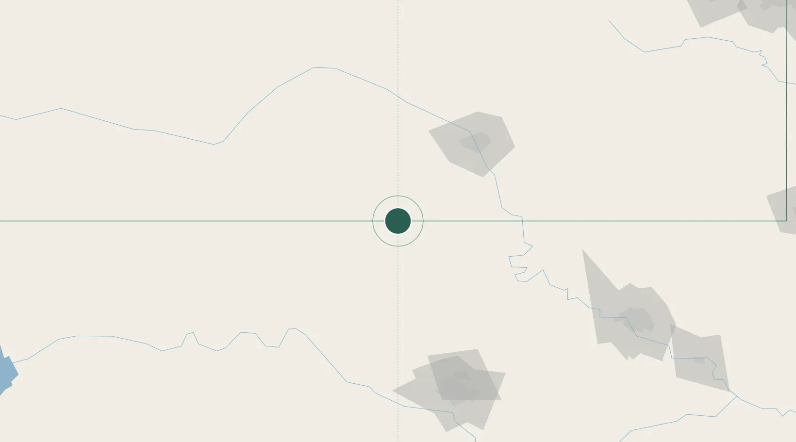
37.0000°, -98.0333°
103
Population
2
Transport functions
Transport Functions
Rail
Road
Hub Profile
Place type
Populated place
Region
Oklahoma
Population
103
Time zone
America/Chicago
Elevation
391 m
Location
Nearby Logistics Neighbours
Cities
- 1Danville34 km
- 2Caldwell43 km
- 3Milan44 km
- 4Medicine Lodge58 km
- 5Alva59 km
Ports
- 1Port Of Memphis739 km
- 2Deer Park844 km
- 3Houston846 km
- 4Pasadena851 km
- 5Beaumont852 km
Airports
Trade Zones
- 1FTZ No. 161 Sedgwick County81 km
- 2FTZ No. 106 Oklahoma City176 km
- 3FTZ No. 053 Rogers County208 km
- 4FTZ No. 164 Muskogee272 km
- 5FTZ No. 015 Kansas City343 km
DatabookThe Record of Consolidated Knowledge
United States beyond logistics?