Transport Functions
Rail
Road
Multimodal
Hub Profile
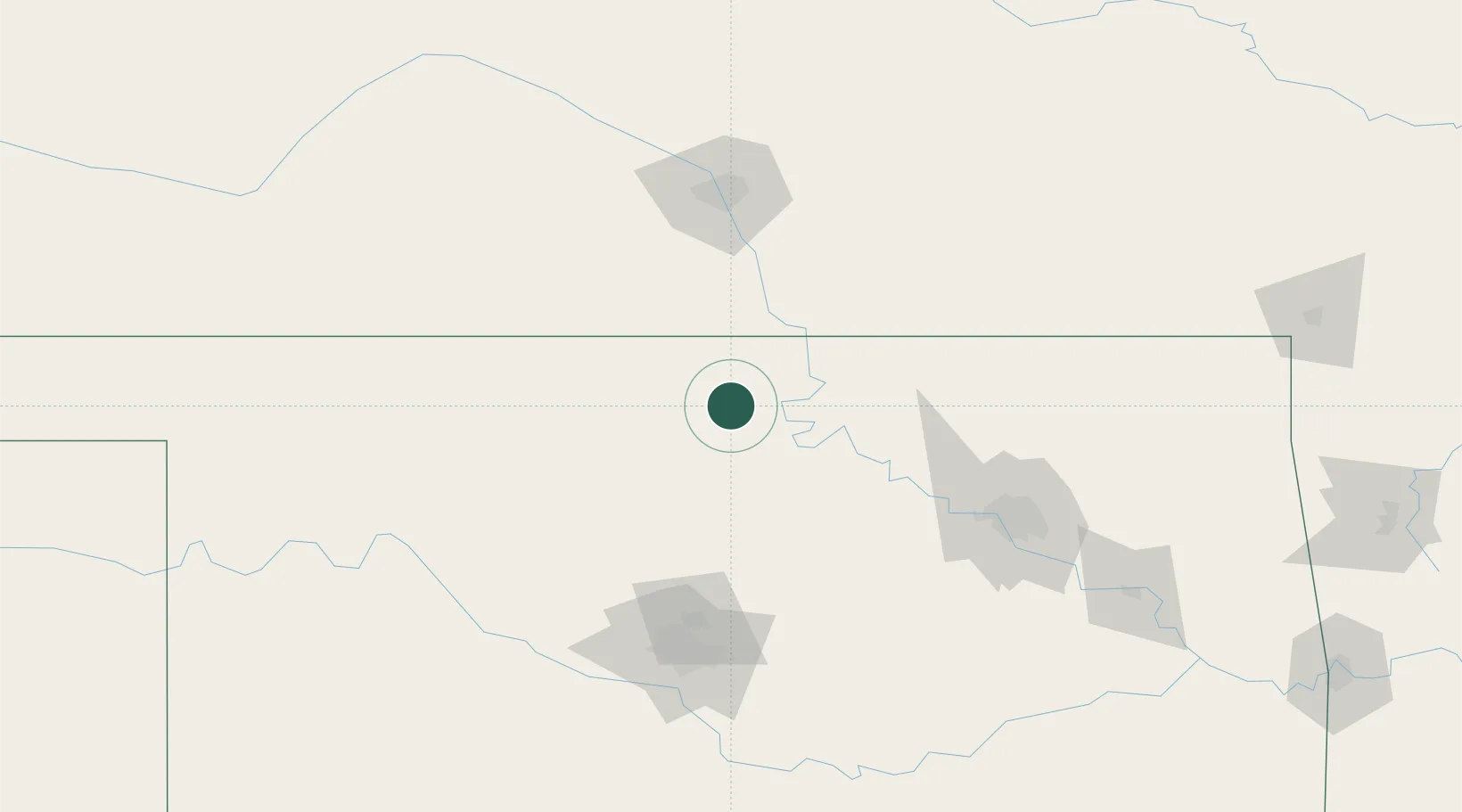
Place type
Populated place
Region
Oklahoma
Population
3,126
Time zone
America/Chicago
Elevation
300 m
Location
Nearby Logistics Neighbours
Cities
- 1Braman28 km
- 2Caldwell46 km
- 3Wellington65 km
- 4Carrier68 km
- 5Milan74 km
Ports
- 1Port Of Memphis667 km
- 2Beaumont791 km
- 3Deer Park791 km
- 4Houston792 km
- 5Pasadena797 km
Airports
Trade Zones
- 1FTZ No. 161 Sedgwick County121 km
- 2FTZ No. 053 Rogers County135 km
- 3FTZ No. 106 Oklahoma City135 km
- 4FTZ No. 164 Muskogee197 km
- 5FTZ No. 227 Durant307 km
DatabookThe Record of Consolidated Knowledge
United States beyond logistics?