Large airport · United States
OKC Will Rogers World AirportKOKC
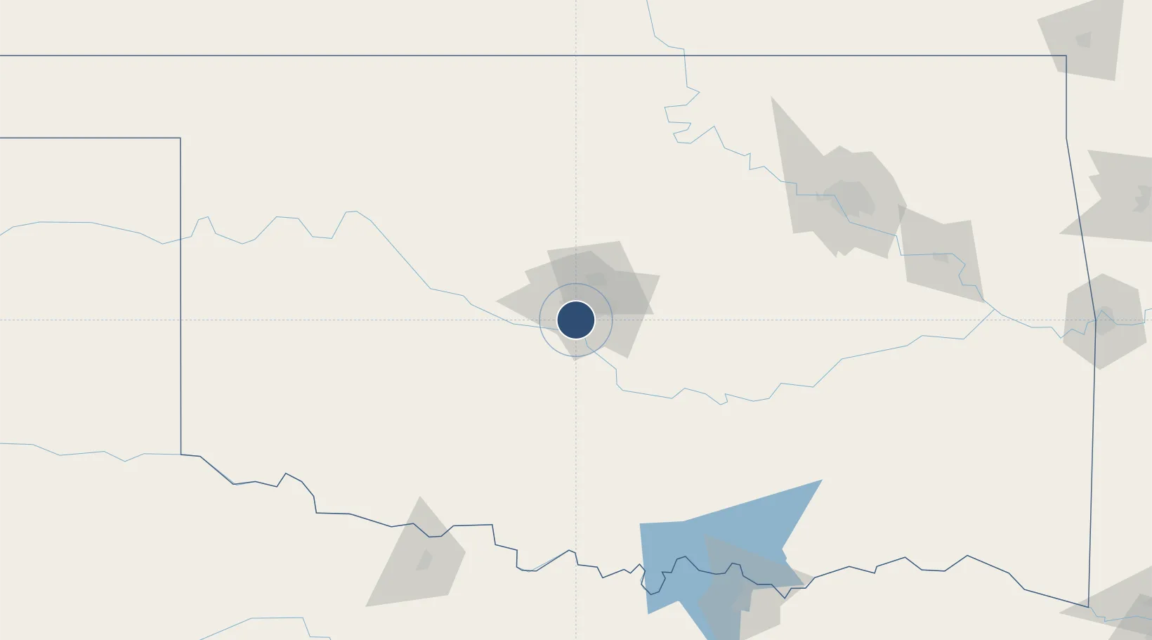
35.3934°, -97.5982°
9,802 ft
Longest runway
4
Runways
1,295 ft
Elevation
Runway & Layout

Radio Frequencies
ATIS
125.85 MHz
TWR
119.35 MHz
ROGERS TWR
GND
121.9 MHz
CLD
124.35 MHz
CLNC DEL
A/D
120.45 MHz
OKE CITY APP/DEP
OPS
22.56 MHz
ANG OPS COMD POST
Navaids
OK NDB Tuloo 406 kHz
Runways · 4
| Runway | Dimensions | Surface | True heading | Lit |
|---|---|---|---|---|
| 17L/35R | 9,802 × 150ft | Concrete | 180° | ✓ |
| 17R/35L | 9,801 × 150ft | Concrete | 180° | ✓ |
| 13/31 | 7,800 × 150ft | Asphalt / concrete | 135° | ✓ |
| 18/36 | 3,079 × 75ft | Asphalt | 180° | ✓ |
Airport Specifications
IATA code
OKC
ICAO code
KOKC
Airport class
Large airport
Scheduled service
Yes
Runway surface
Concrete
Served city
Oklahoma City
Location
Nearby Logistics Neighbours
Airports
- 1Tinker Air Force Base19 km
- 2Stillwater Regional Airport97 km
- 3Ada Regional Airport107 km
- 4Vance Air Force Base109 km
- 5Henry Post Army Air Field110 km
Cities
- 1Mustang8 km
- 2Moore12 km
- 3Tinker Air Force Base19 km
- 4Yukon19 km
- 5El Reno35 km
Trade Zones
- 1FTZ No. 106 Oklahoma City11 km
- 2FTZ No. 053 Rogers County189 km
- 3FTZ No. 227 Durant190 km
- 4FTZ No. 164 Muskogee199 km
- 5FTZ No. 161 Sedgwick County256 km
DatabookThe Record of Consolidated Knowledge
United States beyond logistics?