Transport Functions
Rail
Road
Multimodal
Hub Profile
Place type
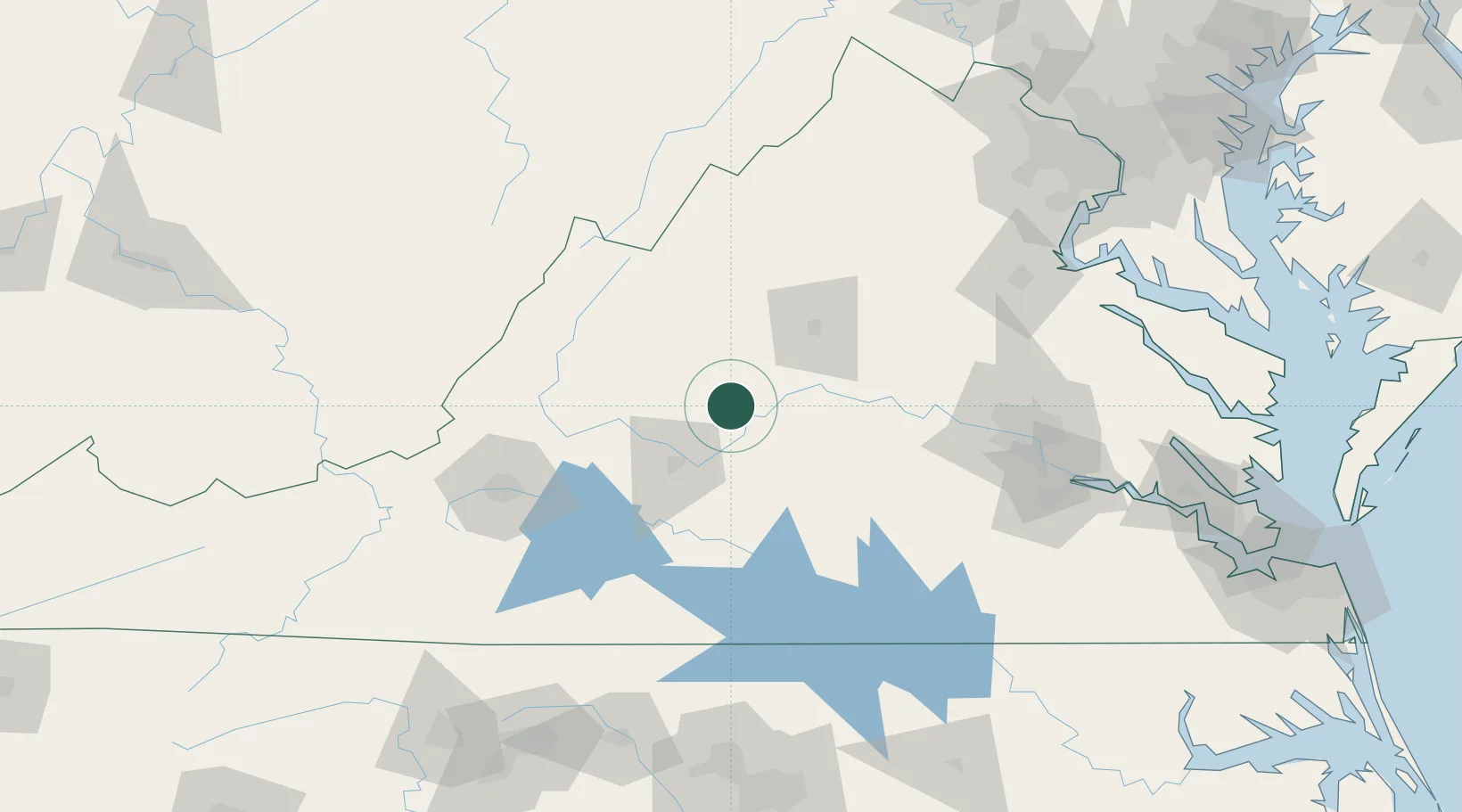
Populated place
Region
Virginia
Population
708
Time zone
America/New_York
Elevation
216 m
Location
Nearby Logistics Neighbours
Cities
- 1Monroe29 km
- 2Madison Heights34 km
- 3Scottsville38 km
- 4Stuarts Draft39 km
- 5Buena Vista41 km
Ports
- 1Richmond132 km
- 2Fredericksburg144 km
- 3West Point186 km
- 4Alexandria205 km
- 5Washington D.C.209 km
Airports
Trade Zones
DatabookThe Record of Consolidated Knowledge
United States beyond logistics?