UN/LOCODE hub · United States
USMH5
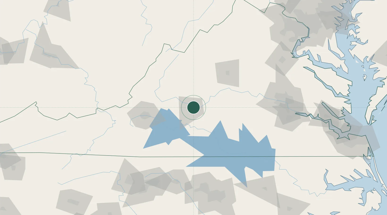
Madison Heights
37.4333°, -79.1167°
11,285
Population
2
Transport functions
Transport Functions
Road
Multimodal
Hub Profile
Place type
Populated place
Region
Virginia
Population
11,285
Time zone
America/New_York
Elevation
233 m
Location
Nearby Logistics Neighbours
Ports
- 1Richmond150 km
- 2Fredericksburg175 km
- 3West Point205 km
- 4Yorktown232 km
- 5Alexandria237 km
Airports
Trade Zones
- 1FTZ No. 207 Richmond137 km
- 2FTZ No. 238 Dublin145 km
- 3FTZ No. 185 Culpeper County151 km
- 4FTZ No. 230 Piedmont Triad Area166 km
- 5FTZ No. 093 Raleigh Durham171 km
DatabookThe Record of Consolidated Knowledge
United States beyond logistics?