UN/LOCODE hub · United States
USBVS
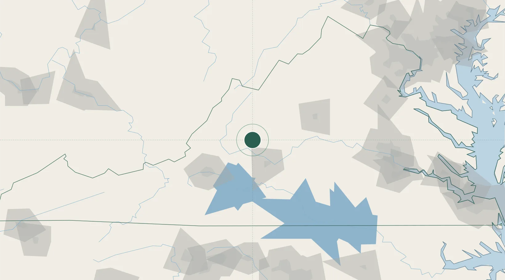
Buena Vista
37.7333°, -79.3667°
6,618
Population
2
Transport functions
Transport Functions
Rail
Road
Hub Profile
Place type
Provincial seat
Region
Virginia
Population
6,618
Time zone
America/New_York
Elevation
255 m
Location
Nearby Logistics Neighbours
Ports
- 1Richmond173 km
- 2Fredericksburg179 km
- 3West Point227 km
- 4Alexandria236 km
- 5Washington D.C.239 km
Airports
Trade Zones
- 1FTZ No. 238 Dublin137 km
- 2FTZ No. 185 Culpeper County143 km
- 3FTZ No. 207 Richmond161 km
- 4FTZ No. 230 Piedmont Triad Area185 km
- 5FTZ No. 093 Raleigh Durham207 km
DatabookThe Record of Consolidated Knowledge
United States beyond logistics?