UN/LOCODE hub · United States
USTTS
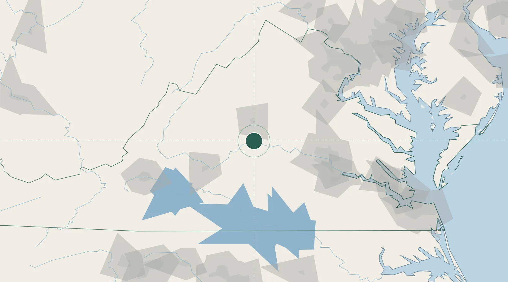
Scottsville
37.7833°, -78.4833°
603
Population
3
Transport functions
Transport Functions
Port
Rail
Road
Hub Profile
Place type
Populated place
Region
Virginia
Population
603
Time zone
America/New_York
Elevation
85 m
Location
Nearby Logistics Neighbours
Cities
- 1Fork Union21 km
- 2Wilmington26 km
- 3Troy28 km
- 4Windsor35 km
- 5Arrington38 km
Ports
- 1Richmond98 km
- 2Fredericksburg107 km
- 3West Point151 km
- 4Alexandria170 km
- 5Washington D.C.175 km
Airports
Trade Zones
DatabookThe Record of Consolidated Knowledge
United States beyond logistics?