Transport Functions
Rail
Road
Multimodal
Hub Profile
Place type
Populated place
Region
Virginia
Time zone
America/New_York
Elevation
219 m
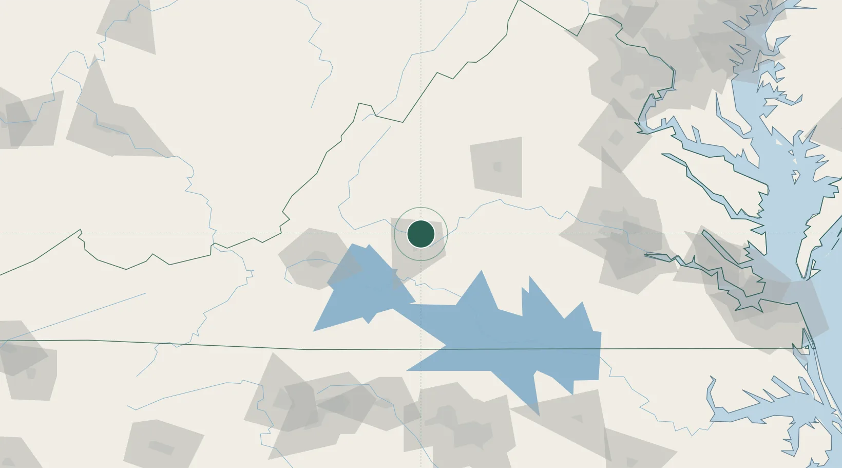
Location
Nearby Logistics Neighbours
Cities
- 1Madison Heights8 km
- 2Forest20 km
- 3Lawyers23 km
- 4Arrington29 km
- 5Glasgow32 km
Ports
- 1Richmond151 km
- 2Fredericksburg172 km
- 3West Point206 km
- 4Alexandria234 km
- 5Yorktown235 km
Airports
Trade Zones
- 1FTZ No. 207 Richmond139 km
- 2FTZ No. 185 Culpeper County146 km
- 3FTZ No. 238 Dublin146 km
- 4FTZ No. 230 Piedmont Triad Area172 km
- 5FTZ No. 093 Raleigh Durham179 km
DatabookThe Record of Consolidated Knowledge
United States beyond logistics?