UN/LOCODE hub · United States
USTUD
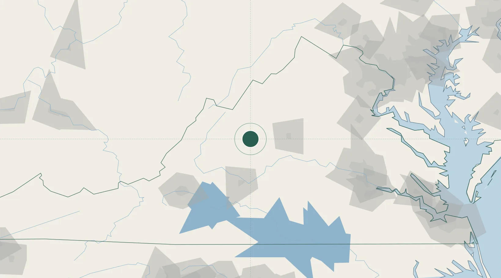
Stuarts Draft
38.0167°, -79.0333°
9,235
Population
2
Transport functions
Transport Functions
Rail
Road
Hub Profile
Place type
Populated place
Region
Virginia
Population
9,235
Time zone
America/New_York
Elevation
433 m
Location
Nearby Logistics Neighbours
Cities
- 1Swoope21 km
- 2Crimora22 km
- 3Augusta Springs27 km
- 4Port Republic37 km
- 5Mount Crawford38 km
Ports
- 1Fredericksburg142 km
- 2Richmond152 km
- 3Alexandria195 km
- 4Washington D.C.198 km
- 5West Point204 km
Airports
Trade Zones
- 1FTZ No. 185 Culpeper County100 km
- 2FTZ No. 207 Richmond140 km
- 3FTZ No. 137 Washington Dulles International Airport172 km
- 4FTZ No. 238 Dublin179 km
- 5FTZ No. 240 Martinsburg184 km
DatabookThe Record of Consolidated Knowledge
United States beyond logistics?