UN/LOCODE hub · United States
USYWT

Winthrop

42.4667°, -91.7333°
849
Population
3
Transport functions

Transport Functions

Rail
Road
Multimodal
UN/LOCODE

Hub Profile

Place type
Populated place
GeoNames
Region
Iowa
GeoNames
Population
849
GeoNames
Time zone
America/Chicago
GeoNames
Elevation
321 m
GeoNames

Location

Location of USYWT
Natural Earth 10m (public domain) · Iowa · USYWT · 42.47, -91.73GoogleOSMYandex

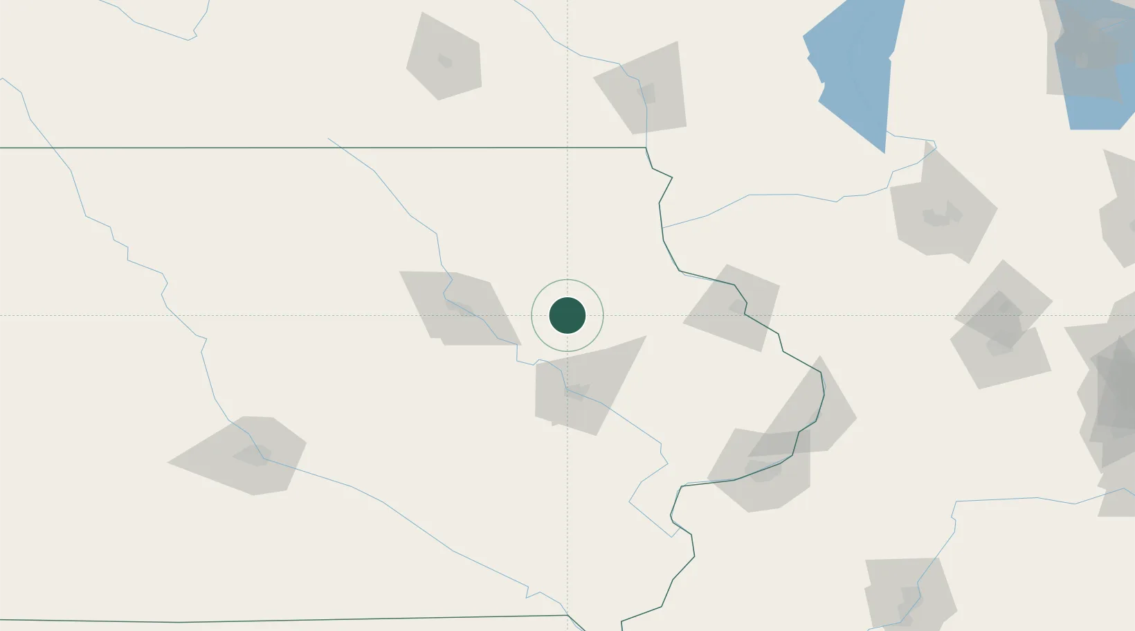
Nearby Logistics Neighbours

Cities
  1. 1Independence12 km
  2. 2Rowley14 km
  3. 3Strawberry Point29 km
  4. 4Arlington30 km
  5. 5Edgewood34 km
Nearest neighbours — logibook spatial index (haversine) over the source coordinates
Ports
  1. 1Milwaukee321 km
  2. 2Great Lakes321 km
  3. 3Kenosha321 km
  4. 4Waukegan322 km
  5. 5Racine325 km
Nearest neighbours — logibook spatial index (haversine) over the source coordinates
Airports
  1. 1Waterloo Regional Airport56 km
  2. 2The Eastern Iowa Airport65 km
  3. 3Dubuque Regional Airport84 km
  4. 4Northeast Iowa Regional Airport98 km
  5. 5Mason City Municipal Airport151 km
Nearest neighbours — logibook spatial index (haversine) over the source coordinates
Trade Zones
  1. 1FTZ No. 175 Cedar Rapids56 km
  2. 2FTZ No. 271 Jo-Daviess and Carroll Counties124 km
  3. 3FTZ No. 266 Dane County179 km
  4. 4FTZ No. 107 Polk County186 km
  5. 5FTZ No. 055 Burlington192 km
Nearest neighbours — logibook spatial index (haversine) over the source coordinates
DatabookThe Record of Consolidated Knowledge
United States beyond logistics?
Browse databook

All Sources

LocationsUN/LOCODE
UN/LOCODE — free
LocationsGeoNames
CC BY 4.0
Portsthe NGA World Port Index
Public domain (US gov)
AirportsOurAirports
Public domain
Trade Zonesthe World Bank SEZ database
CC BY 4.0
Trade ZonesOpen Zone Map
CC BY
← United States locations