Transport Functions
Multimodal
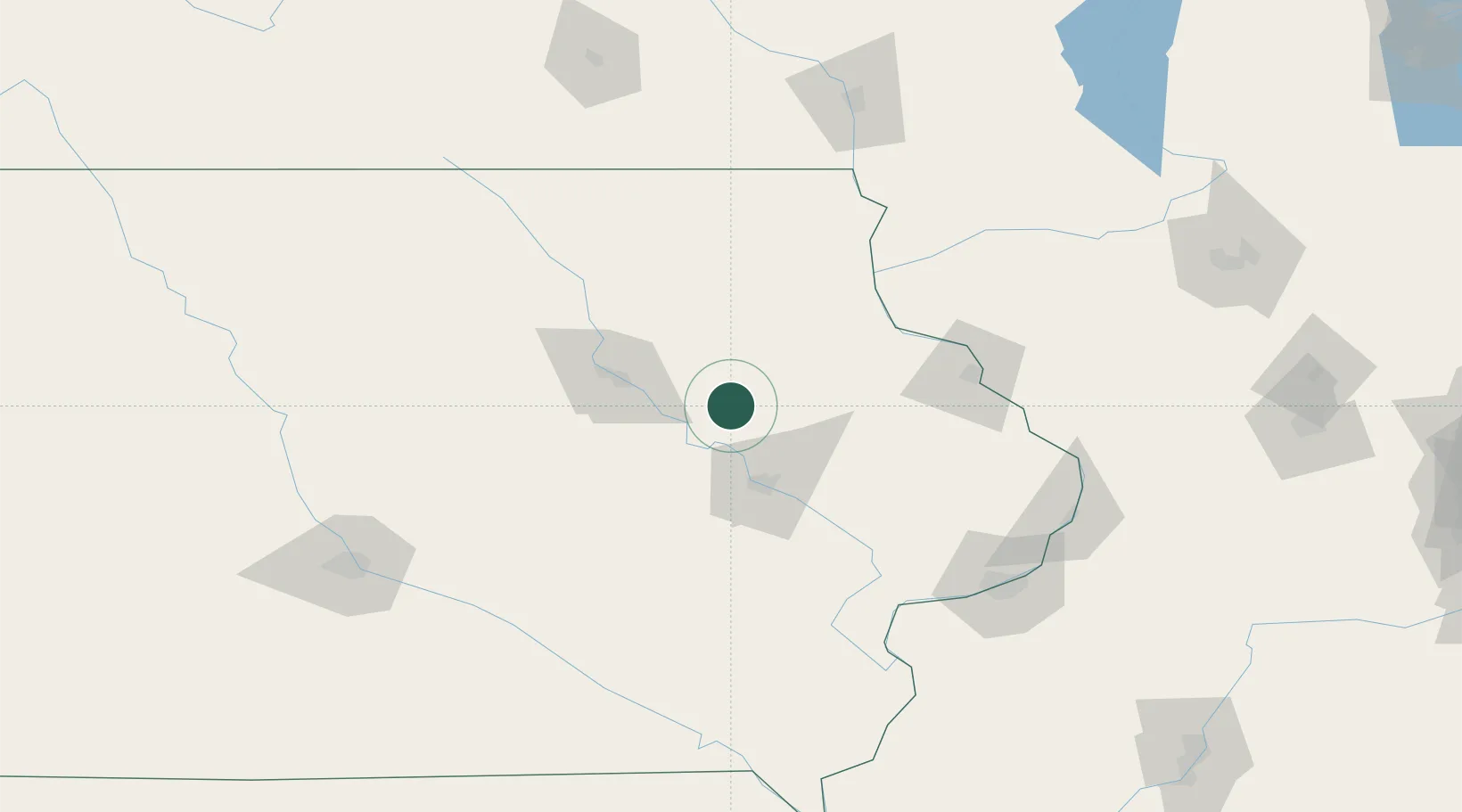
Hub Profile
Place type
Populated place
Region
Iowa
Population
267
Time zone
America/Chicago
Elevation
299 m
Location
Nearby Logistics Neighbours
Cities
- 1Independence12 km
- 2Winthrop14 km
- 3Hiawatha39 km
- 4Strawberry Point43 km
- 5Arlington43 km
Ports
- 1Great Lakes329 km
- 2Waukegan330 km
- 3Kenosha330 km
- 4Milwaukee331 km
- 5Racine334 km
Airports
- 1Waterloo Regional Airport51 km
- 2The Eastern Iowa Airport55 km
- 3Dubuque Regional Airport92 km
- 4Northeast Iowa Regional Airport101 km
- 5Ottumwa Regional Airport149 km
Trade Zones
- 1FTZ No. 175 Cedar Rapids45 km
- 2FTZ No. 271 Jo-Daviess and Carroll Counties131 km
- 3FTZ No. 107 Polk County173 km
- 4FTZ No. 055 Burlington183 km
- 5FTZ No. 266 Dane County191 km
DatabookThe Record of Consolidated Knowledge
United States beyond logistics?