UN/LOCODE hub · United States
USINE
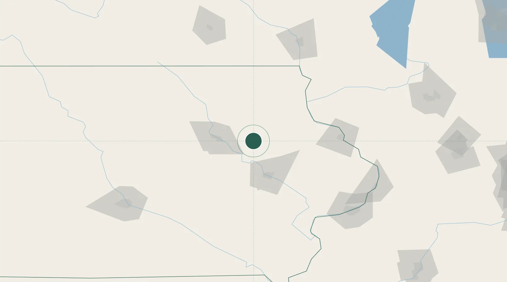
Independence
42.4667°, -91.8833°
6,028
Population
3
Transport functions
Transport Functions
Rail
Road
Multimodal
Hub Profile
Place type
Provincial seat
Region
Iowa
Population
6,028
Time zone
America/Chicago
Elevation
285 m
Location
Nearby Logistics Neighbours
Cities
- 1Rowley12 km
- 2Winthrop12 km
- 3Arlington35 km
- 4Strawberry Point37 km
- 5Fayette41 km
Ports
- 1Milwaukee333 km
- 2Great Lakes333 km
- 3Kenosha334 km
- 4Waukegan334 km
- 5Racine337 km
Airports
Trade Zones
- 1FTZ No. 175 Cedar Rapids56 km
- 2FTZ No. 271 Jo-Daviess and Carroll Counties136 km
- 3FTZ No. 107 Polk County175 km
- 4FTZ No. 266 Dane County190 km
- 5FTZ No. 055 Burlington195 km
DatabookThe Record of Consolidated Knowledge
United States beyond logistics?