Transport Functions
Port
Multimodal
Hub Profile
Place type
Populated place
Region
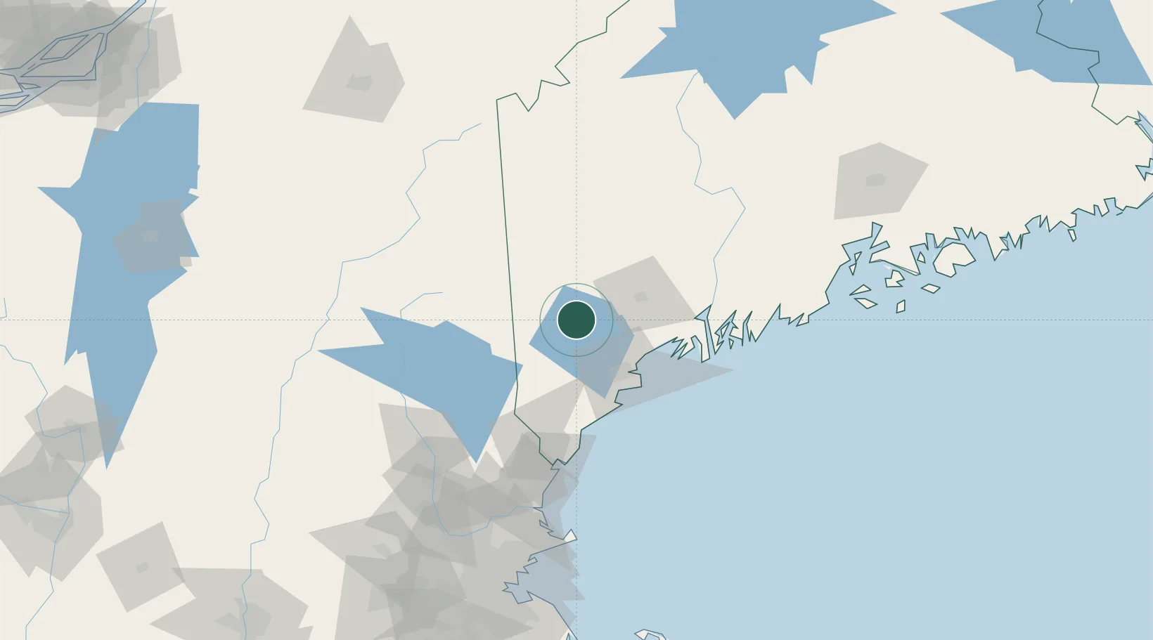
Maine
Population
428
Time zone
America/New_York
Elevation
86 m
Location
Nearby Logistics Neighbours
Cities
- 1Poland20 km
- 2Oxford20 km
- 3Mechanic Falls23 km
- 4North Falmouth31 km
- 5Hollis37 km
Ports
- 1Portland44 km
- 2Saco53 km
- 3South Harpswell54 km
- 4Bath63 km
- 5Kennebunkport68 km
Airports
Trade Zones
- 1FTZ No. 263 Auburn35 km
- 2FTZ No. 186 Waterville96 km
- 3FTZ No. 081 Portsmouth103 km
- 4FTZ No. 058 Bangor170 km
- 5FTZ No. 027 Boston188 km
DatabookThe Record of Consolidated Knowledge
United States beyond logistics?