UN/LOCODE hub · United States
USEAZ
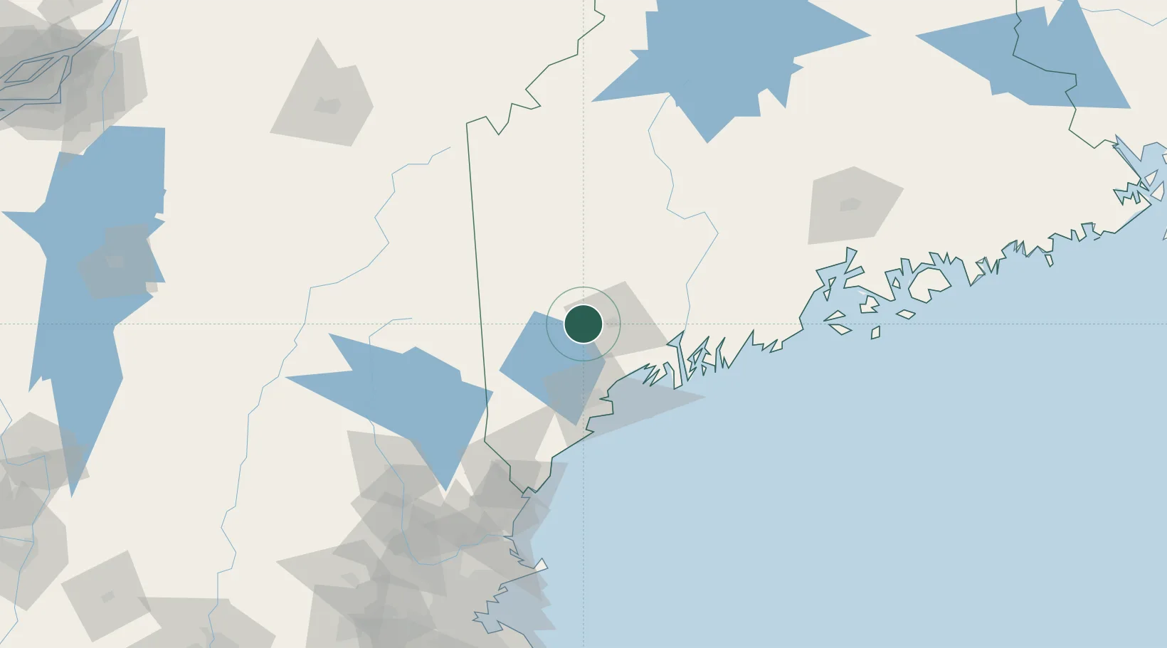
Mechanic Falls
44.1000°, -70.3833°
2,237
Population
2
Transport functions
Transport Functions
Port
Multimodal
Hub Profile
Place type
Populated place
Region
Maine
Population
2,237
Time zone
America/New_York
Elevation
84 m
Location
Nearby Logistics Neighbours
Ports
- 1Portland49 km
- 2Bath50 km
- 3South Harpswell50 km
- 4Gardiner51 km
- 5Augusta55 km
Airports
Trade Zones
- 1FTZ No. 263 Auburn14 km
- 2FTZ No. 186 Waterville73 km
- 3FTZ No. 081 Portsmouth122 km
- 4FTZ No. 058 Bangor147 km
- 5FTZ No. 027 Boston207 km
DatabookThe Record of Consolidated Knowledge
United States beyond logistics?