Transport Functions
Road
Multimodal
Hub Profile
Place type
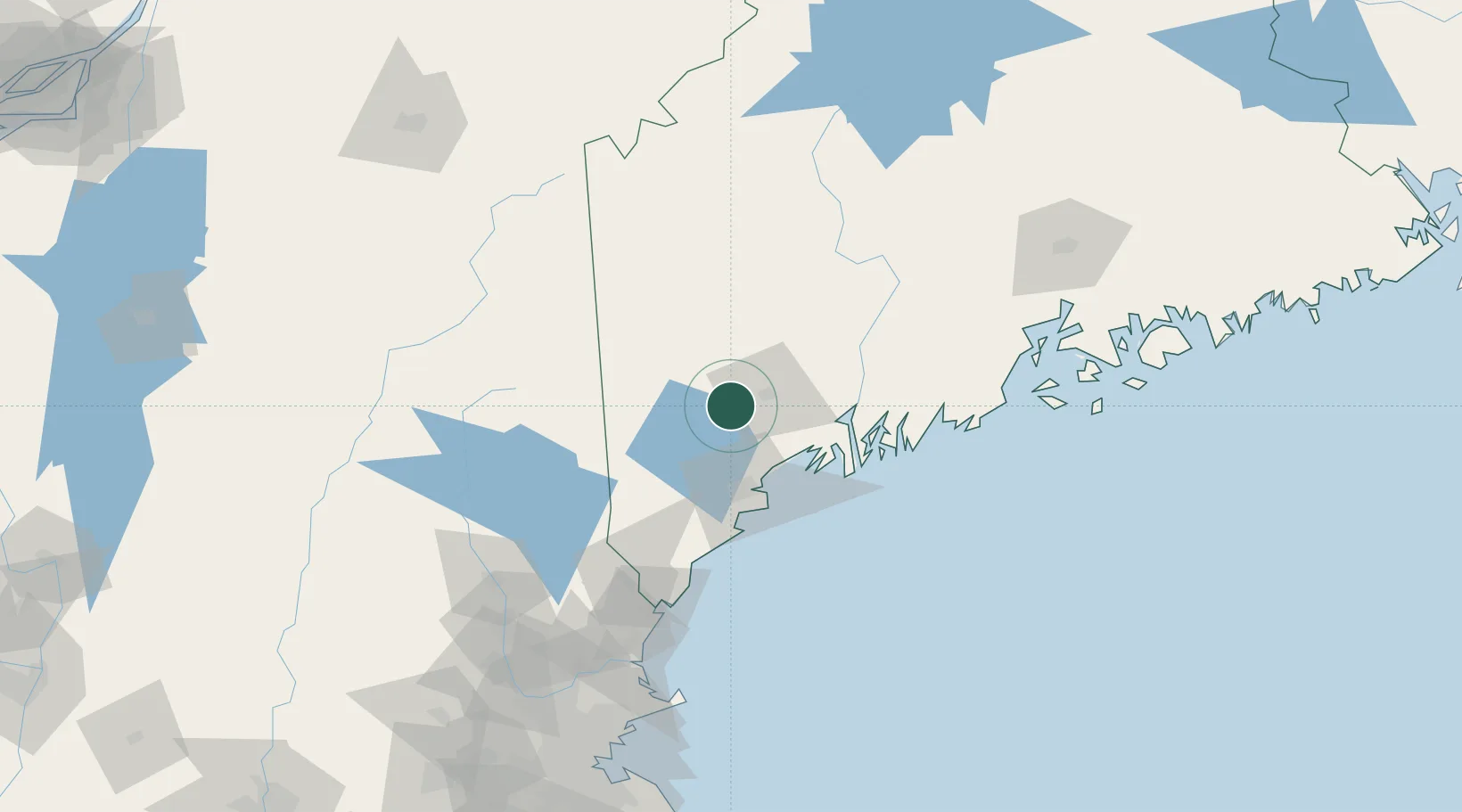
Populated place
Region
Maine
Population
5,314
Time zone
America/New_York
Elevation
101 m
Location
Nearby Logistics Neighbours
Cities
- 1Mechanic Falls6 km
- 2Oxford13 km
- 3Naples20 km
- 4Lisbon23 km
- 5Sabattus24 km
Ports
- 1Portland44 km
- 2South Harpswell46 km
- 3Bath48 km
- 4Gardiner53 km
- 5Augusta57 km
Airports
Trade Zones
- 1FTZ No. 263 Auburn15 km
- 2FTZ No. 186 Waterville77 km
- 3FTZ No. 081 Portsmouth117 km
- 4FTZ No. 058 Bangor150 km
- 5FTZ No. 027 Boston202 km
DatabookThe Record of Consolidated Knowledge
United States beyond logistics?