Transport Functions
Road
Multimodal
Hub Profile
Place type
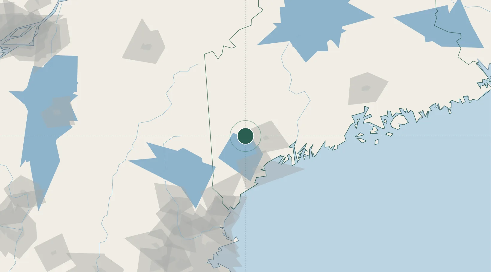
Populated place
Region
Maine
Population
1,263
Time zone
America/New_York
Elevation
100 m
Location
Nearby Logistics Neighbours
Cities
- 1Mechanic Falls10 km
- 2Poland13 km
- 3Naples20 km
- 4Turner23 km
- 5Sabattus32 km
Ports
- 1Portland56 km
- 2South Harpswell59 km
- 3Gardiner60 km
- 4Bath60 km
- 5Augusta62 km
Airports
Trade Zones
- 1FTZ No. 263 Auburn24 km
- 2FTZ No. 186 Waterville78 km
- 3FTZ No. 081 Portsmouth123 km
- 4FTZ No. 058 Bangor153 km
- 5FTZ No. 027 Boston208 km
DatabookThe Record of Consolidated Knowledge
United States beyond logistics?