Transport Functions
Road
Airport
Multimodal
Hub Profile
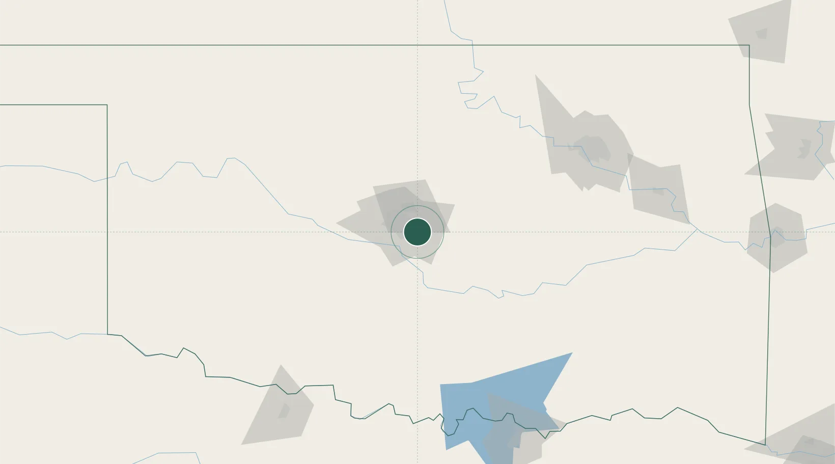
Region
OK
Location
Nearby Logistics Neighbours
Ports
- 1Port Of Memphis658 km
- 2Deer Park661 km
- 3Houston662 km
- 4Pasadena668 km
- 5Beaumont671 km
Airports
- 1Tinker Air Force Base2 km
- 2OKC Will Rogers World Airport19 km
- 3Stillwater Regional Airport86 km
- 4Ada Regional Airport96 km
- 5Vance Air Force Base111 km
Trade Zones
- 1FTZ No. 106 Oklahoma City12 km
- 2FTZ No. 053 Rogers County172 km
- 3FTZ No. 164 Muskogee180 km
- 4FTZ No. 227 Durant184 km
- 5FTZ No. 161 Sedgwick County253 km
DatabookThe Record of Consolidated Knowledge
United States beyond logistics?