UN/LOCODE hub · United States
USUMU
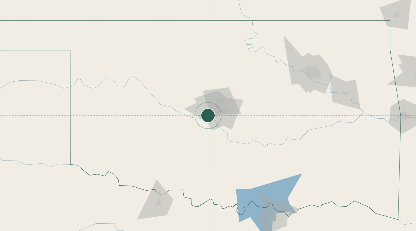
Mustang
35.4000°, -97.6833°
20,226
Population
2
Transport functions
Transport Functions
Rail
Road
Hub Profile
Place type
Populated place
Region
Oklahoma
Population
20,226
Time zone
America/Chicago
Elevation
411 m
Location
Nearby Logistics Neighbours
Cities
- 1Yukon14 km
- 2Moore20 km
- 3Tinker Air Force Base26 km
- 4El Reno27 km
- 5Okarche44 km
Airports
- 1OKC Will Rogers World Airport8 km
- 2Tinker Air Force Base27 km
- 3Stillwater Regional Airport100 km
- 4Henry Post Army Air Field106 km
- 5Vance Air Force Base107 km
Trade Zones
- 1FTZ No. 106 Oklahoma City17 km
- 2FTZ No. 227 Durant195 km
- 3FTZ No. 053 Rogers County195 km
- 4FTZ No. 164 Muskogee206 km
- 5FTZ No. 161 Sedgwick County255 km
DatabookThe Record of Consolidated Knowledge
United States beyond logistics?