UN/LOCODE hub · United States
USTCE
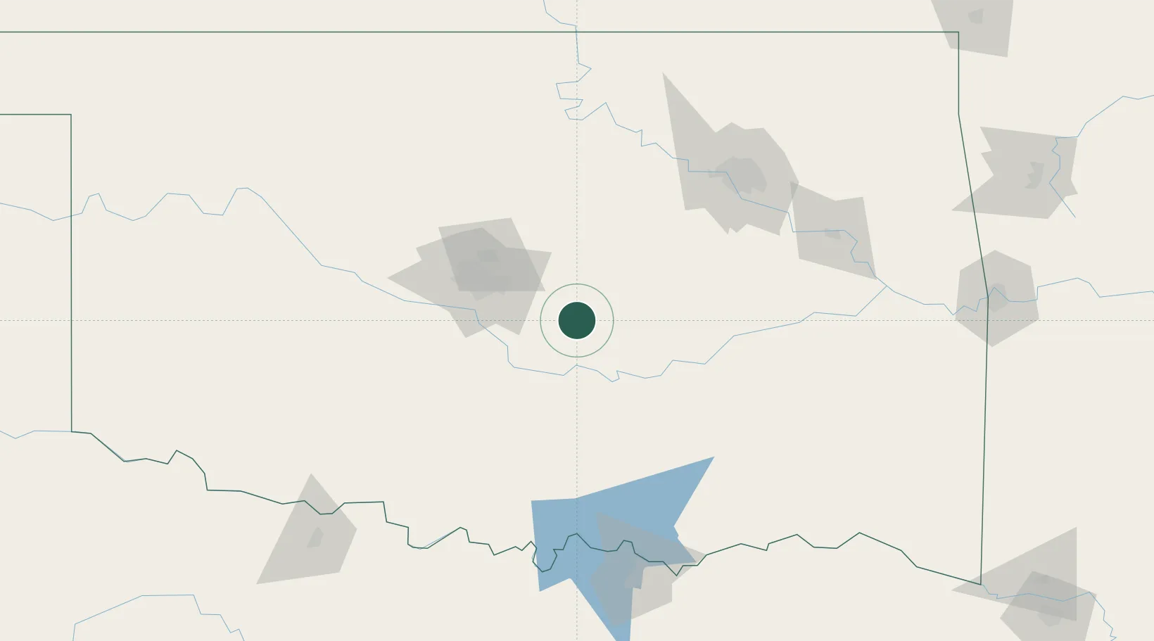
Tecumseh
35.2500°, -96.9333°
6,630
Population
2
Transport functions
Transport Functions
Road
Multimodal
Hub Profile
Place type
Populated place
Region
Oklahoma
Population
6,630
Time zone
America/Chicago
Elevation
330 m
Location
Nearby Logistics Neighbours
Cities
- 1Saint Louis22 km
- 2Meeker28 km
- 3Wanette34 km
- 4Prague35 km
- 5Konawa36 km
Ports
- 1Port Of Memphis615 km
- 2Deer Park630 km
- 3Houston631 km
- 4Beaumont633 km
- 5Pasadena636 km
Airports
- 1Tinker Air Force Base45 km
- 2Ada Regional Airport55 km
- 3OKC Will Rogers World Airport62 km
- 4Stillwater Regional Airport102 km
- 5Mc Alester Regional Airport112 km
Trade Zones
- 1FTZ No. 106 Oklahoma City59 km
- 2FTZ No. 164 Muskogee145 km
- 3FTZ No. 227 Durant147 km
- 4FTZ No. 053 Rogers County155 km
- 5FTZ No. 196 Fort Worth279 km
DatabookThe Record of Consolidated Knowledge
United States beyond logistics?