Transport Functions
Rail
Road
Multimodal
Hub Profile
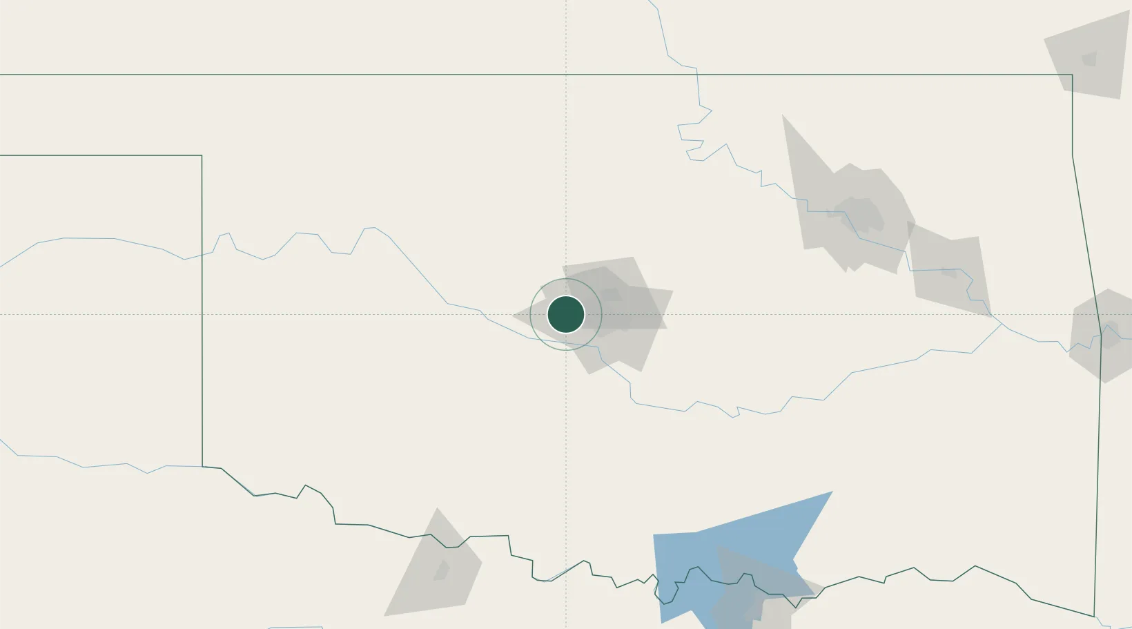
Place type
Populated place
Region
Oklahoma
Population
25,892
Time zone
America/Chicago
Elevation
393 m
Location
Nearby Logistics Neighbours
Cities
- 1Mustang14 km
- 2El Reno18 km
- 3Okarche30 km
- 4Moore32 km
- 5Tinker Air Force Base33 km
Ports
- 1Deer Park680 km
- 2Houston682 km
- 3Pasadena687 km
- 4Port Of Memphis690 km
- 5Baytown692 km
Airports
- 1OKC Will Rogers World Airport19 km
- 2Tinker Air Force Base35 km
- 3Vance Air Force Base93 km
- 4Stillwater Regional Airport94 km
- 5Henry Post Army Air Field113 km
Trade Zones
- 1FTZ No. 106 Oklahoma City21 km
- 2FTZ No. 053 Rogers County194 km
- 3FTZ No. 227 Durant209 km
- 4FTZ No. 164 Muskogee210 km
- 5FTZ No. 161 Sedgwick County242 km
DatabookThe Record of Consolidated Knowledge
United States beyond logistics?