Transport Functions
Road
Multimodal
Hub Profile
Place type
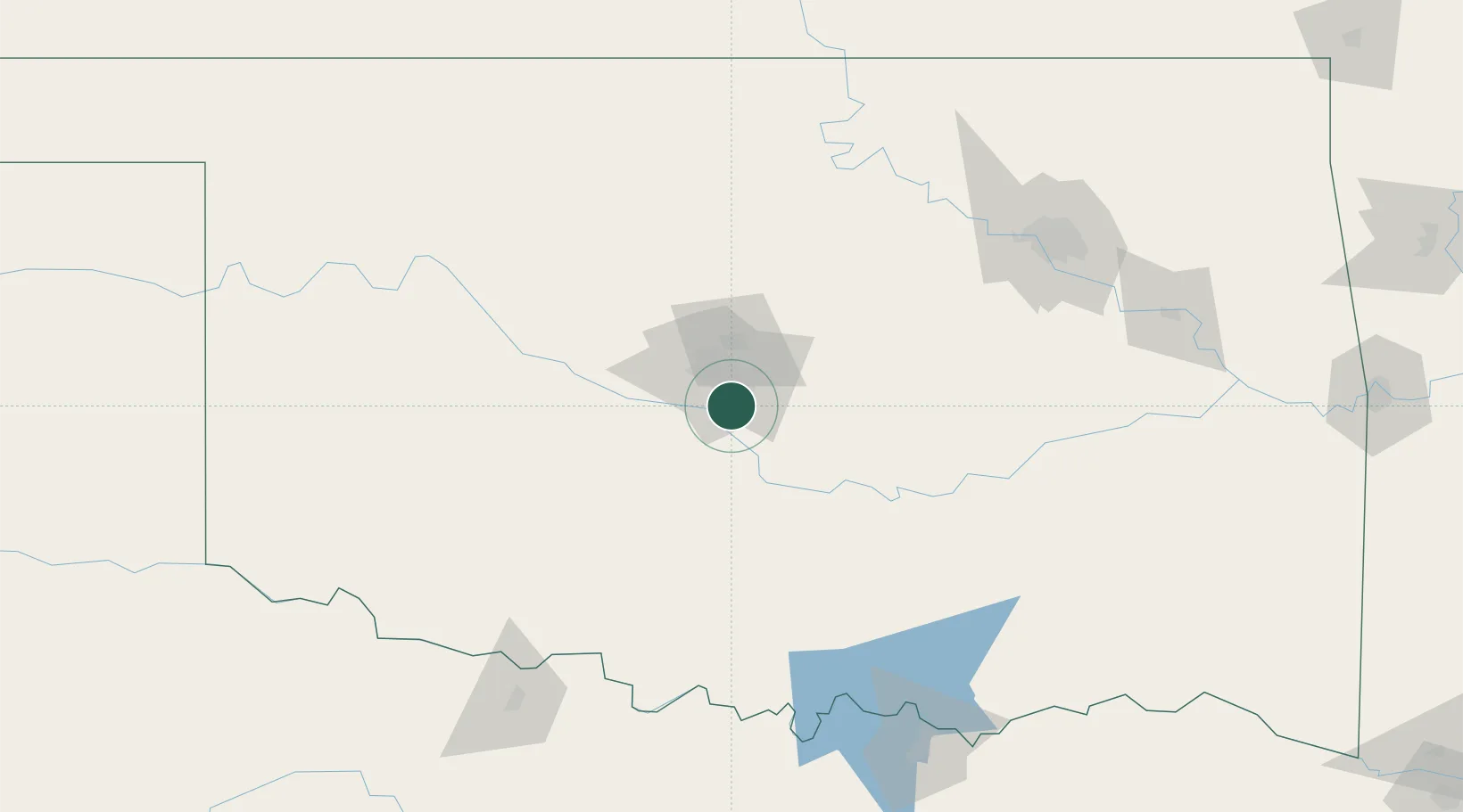
Populated place
Region
Oklahoma
Population
60,451
Time zone
America/Chicago
Elevation
382 m
Location
Nearby Logistics Neighbours
Cities
- 1Tinker Air Force Base13 km
- 2Mustang20 km
- 3Yukon32 km
- 4Purcell39 km
- 5El Reno47 km
Airports
- 1OKC Will Rogers World Airport12 km
- 2Tinker Air Force Base13 km
- 3Ada Regional Airport94 km
- 4Stillwater Regional Airport99 km
- 5Henry Post Army Air Field113 km
Trade Zones
- 1FTZ No. 106 Oklahoma City15 km
- 2FTZ No. 227 Durant178 km
- 3FTZ No. 053 Rogers County185 km
- 4FTZ No. 164 Muskogee190 km
- 5FTZ No. 161 Sedgwick County264 km
DatabookThe Record of Consolidated Knowledge
United States beyond logistics?