Transport Functions
Road
Multimodal
Hub Profile
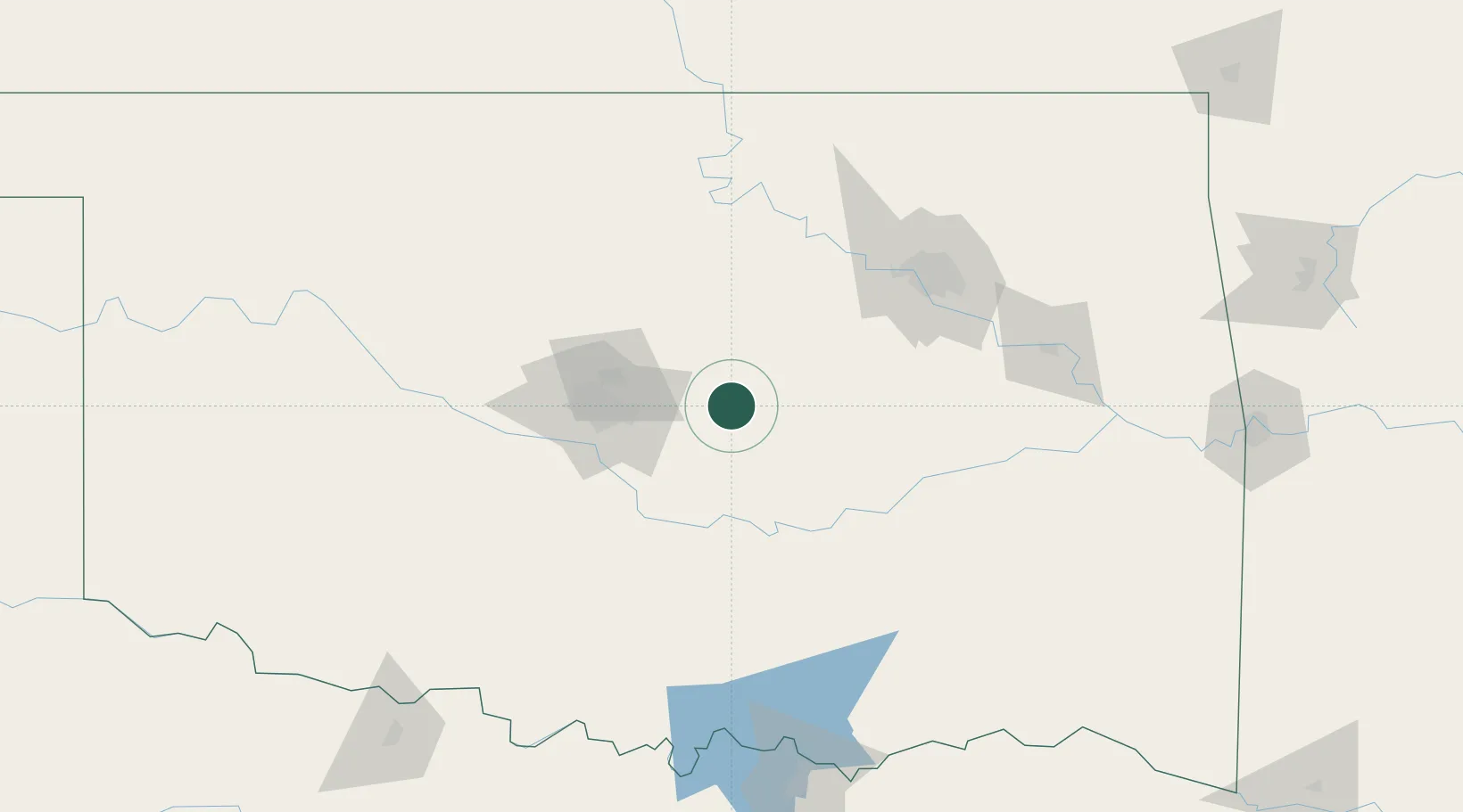
Place type
Populated place
Region
Oklahoma
Population
1,172
Time zone
America/Chicago
Elevation
272 m
Location
Nearby Logistics Neighbours
Cities
- 1Prague20 km
- 2Tecumseh28 km
- 3Tinker Air Force Base46 km
- 4Saint Louis48 km
- 5Moore56 km
Ports
- 1Port Of Memphis613 km
- 2Deer Park656 km
- 3Houston657 km
- 4Beaumont657 km
- 5Pasadena662 km
Airports
- 1Tinker Air Force Base45 km
- 2OKC Will Rogers World Airport64 km
- 3Stillwater Regional Airport76 km
- 4Ada Regional Airport80 km
- 5Tulsa Riverside Airport102 km
Trade Zones
- 1FTZ No. 106 Oklahoma City56 km
- 2FTZ No. 053 Rogers County133 km
- 3FTZ No. 164 Muskogee134 km
- 4FTZ No. 227 Durant173 km
- 5FTZ No. 161 Sedgwick County256 km
DatabookThe Record of Consolidated Knowledge
United States beyond logistics?